Transport Functions
Port
Hub Profile
Place type
Populated place
Region
Guangdong
Time zone
Asia/Shanghai
Elevation
87 m
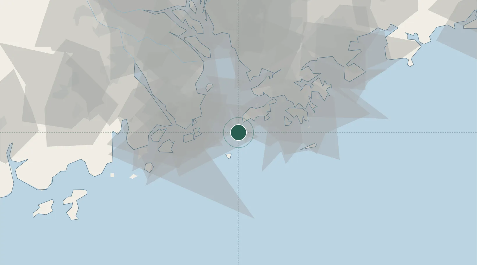
Location
Nearby Logistics Neighbours
Cities
- 1Wanshan Pt25 km
- 2Macau29 km
- 3Wanzai31 km
- 4Doumen Pt32 km
- 5Qianshan/Zhuhai33 km
Airports
- 1Hong Kong International Airport22 km
- 2Macau International Airport23 km
- 3Shun Tak Heliport39 km
- 4Shek Kong Air Base43 km
- 5Zhuhai Jinwan Airport48 km
Trade Zones
DatabookThe Record of Consolidated Knowledge
China beyond logistics?