Transport Functions
Port
Hub Profile
Region
GD
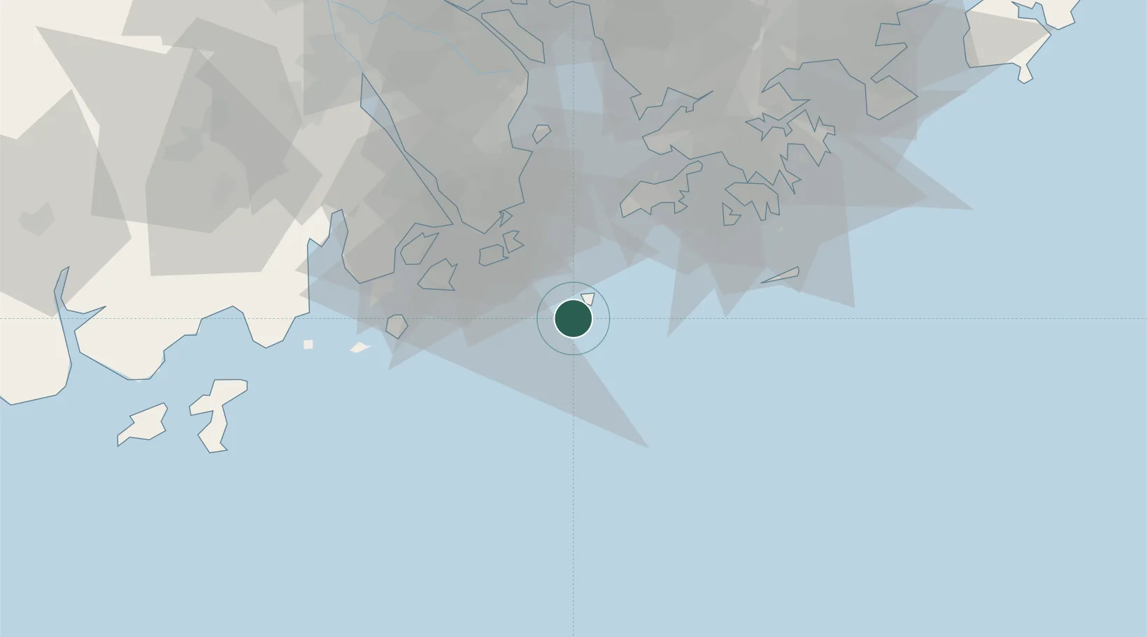
Location
Nearby Logistics Neighbours
Cities
- 1Guishan25 km
- 2Macau33 km
- 3Wanzai35 km
- 4Zhuhai36 km
- 5Qianshan/Zhuhai39 km
Airports
- 1Macau International Airport27 km
- 2Zhuhai Jinwan Airport36 km
- 3Hong Kong International Airport47 km
- 4Shun Tak Heliport60 km
- 5Shek Kong Air Base67 km
Trade Zones
DatabookThe Record of Consolidated Knowledge
China beyond logistics?