Transport Functions
Multimodal
Hub Profile
Place type
Provincial seat
Region
Liaoning
Population
1,400,646
Time zone
Asia/Shanghai
Elevation
85 m
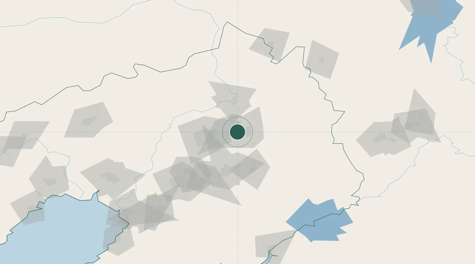
Location
Nearby Logistics Neighbours
Cities
- 1Shenyang40 km
- 2Tieling49 km
- 3Faku83 km
- 4Anping103 km
- 5Anshan Teng'ao Apt105 km
Ports
- 1Yingkou190 km
- 2Dandong227 km
- 3Bayuquan230 km
- 4Jinzhou Wan264 km
- 5Huludao Gang275 km
Airports
DatabookThe Record of Consolidated Knowledge
China beyond logistics?