UN/LOCODE hub · China
CNAOG

Anshan Teng'ao Apt

41.1667°, 123.0333°
2
Transport functions

Transport Functions

Airport
Multimodal
UN/LOCODE

Hub Profile

Region
LN
GeoNames

Location

Location of CNAOG
Natural Earth 10m (public domain) · LN · CNAOG · 41.17, 123.03GoogleOSMYandex

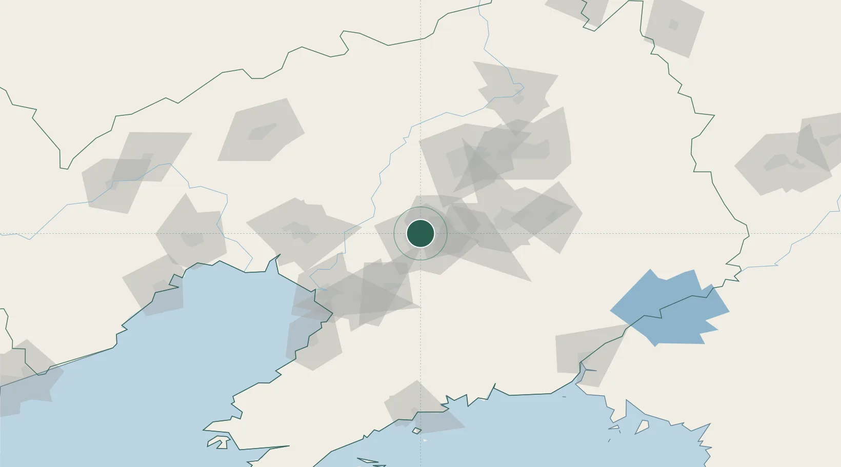
Nearby Logistics Neighbours

Cities
  1. 1Anping5 km
  2. 2Anshan6 km
  3. 3Shenyang77 km
  4. 4Dawa84 km
  5. 5Heishan97 km
Nearest neighbours — logibook spatial index (haversine) over the source coordinates
Ports
  1. 1Yingkou86 km
  2. 2Bayuquan125 km
  3. 3Jinzhou Wan169 km
  4. 4Dandong177 km
  5. 5Huludao Gang180 km
Nearest neighbours — logibook spatial index (haversine) over the source coordinates
Airports
  1. 1Anshan Teng'ao Airport / Anshan Air Base17 km
  2. 2Shenyang Taoxian International Airport65 km
  3. 3Shenyang Yuhong Quansheng Airport76 km
  4. 4Shenyang Dongta Airport79 km
  5. 5Shenyang Beiling Air Base85 km
Nearest neighbours — logibook spatial index (haversine) over the source coordinates
Trade Zones
  1. 1Taizihe Economic Development Zone17 km
  2. 2Tengao Economic Development Zone20 km
  3. 3Shenyang Financial Business Development Zone35 km
  4. 4Shenyang Offshore Economic Zone41 km
  5. 5Haicheng Economic Development Zone42 km
Nearest neighbours — logibook spatial index (haversine) over the source coordinates
DatabookThe Record of Consolidated Knowledge
China beyond logistics?
Browse databook

All Sources

LocationsUN/LOCODE
UN/LOCODE — free
Portsthe NGA World Port Index
Public domain (US gov)
AirportsOurAirports
Public domain
Trade Zonesthe World Bank SEZ database
CC BY 4.0
Trade ZonesOpen Zone Map
CC BY
← China locations