UN/LOCODE hub · China
CNANP

Anping

41.1500°, 123.0833°
1
Transport functions

Transport Functions

Rail
UN/LOCODE

Hub Profile

Place type
Populated place
GeoNames
Region
Liaoning
GeoNames
Time zone
Asia/Shanghai
GeoNames
Elevation
60 m
GeoNames

Location

Location of CNANP
Natural Earth 10m (public domain) · Liaoning · CNANP · 41.15, 123.08GoogleOSMYandex

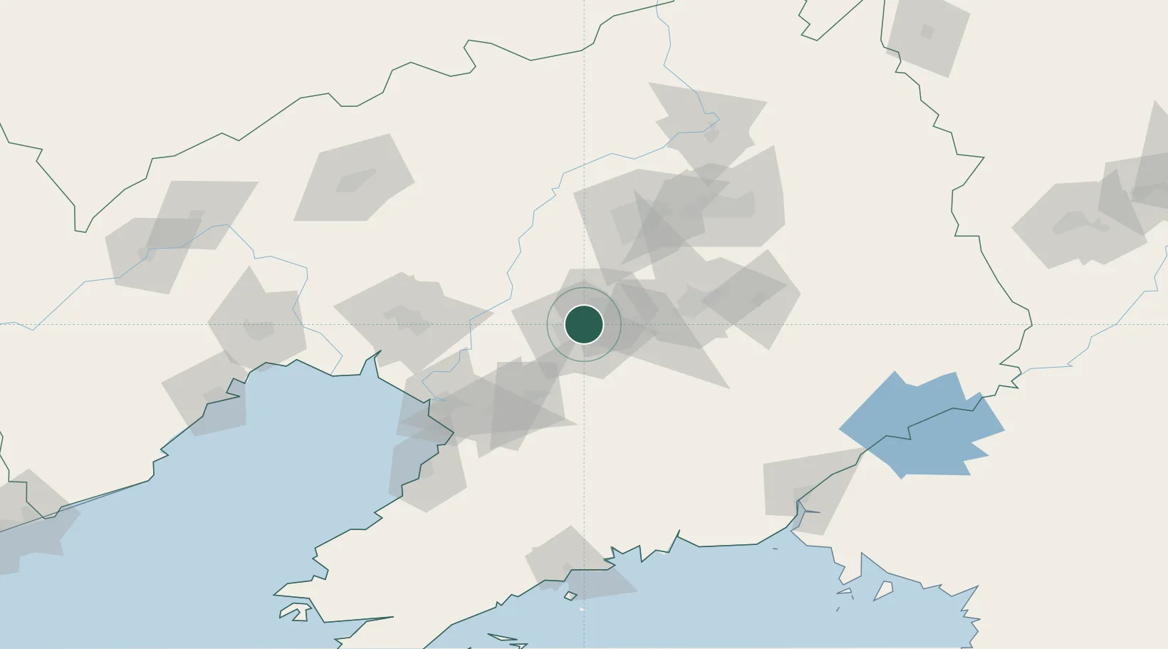
Nearby Logistics Neighbours

Cities
  1. 1Anshan Teng'ao Apt5 km
  2. 2Anshan8 km
  3. 3Shenyang77 km
  4. 4Dawa87 km
  5. 5Heishan101 km
Nearest neighbours — logibook spatial index (haversine) over the source coordinates
Ports
  1. 1Yingkou88 km
  2. 2Bayuquan127 km
  3. 3Jinzhou Wan172 km
  4. 4Dandong174 km
  5. 5Huludao Gang183 km
Nearest neighbours — logibook spatial index (haversine) over the source coordinates
Airports
  1. 1Anshan Teng'ao Airport / Anshan Air Base20 km
  2. 2Shenyang Taoxian International Airport64 km
  3. 3Shenyang Yuhong Quansheng Airport77 km
  4. 4Shenyang Dongta Airport79 km
  5. 5Shenyang Beiling Air Base85 km
Nearest neighbours — logibook spatial index (haversine) over the source coordinates
Trade Zones
  1. 1Taizihe Economic Development Zone17 km
  2. 2Tengao Economic Development Zone23 km
  3. 3Shenyang Financial Business Development Zone32 km
  4. 4Haicheng Economic Development Zone44 km
  5. 5Shenyang Offshore Economic Zone45 km
Nearest neighbours — logibook spatial index (haversine) over the source coordinates
DatabookThe Record of Consolidated Knowledge
China beyond logistics?
Browse databook

All Sources

LocationsUN/LOCODE
UN/LOCODE — free
Portsthe NGA World Port Index
Public domain (US gov)
AirportsOurAirports
Public domain
Trade Zonesthe World Bank SEZ database
CC BY 4.0
Trade ZonesOpen Zone Map
CC BY
← China locations