Export Processing Zone · China

Shenyang Cedar Economic Development Zone Active

41.6621°, 123.3723°
388 ha
Zone area
144.7 km
Nearest port
9.6 km
Nearest airport

Gateway access

Nearest neighbours — logibook spatial index (haversine) over the source coordinates

Zone profile

Zone type
Export Processing Zone
Open Zone Map
Region
Liaoning
Open Zone Map
Status
Active
Open Zone Map
Management
Public
Open Zone Map
Operator
Management Committee of Shenyang Cedar Economic Development Zone
Open Zone Map
Legal framework
Established in 1991
Open Zone Map

Location

Location of ozm-1119
Natural Earth 10m (public domain) · Liaoning · ozm-1119 · 41.66, 123.37GoogleOSMYandex

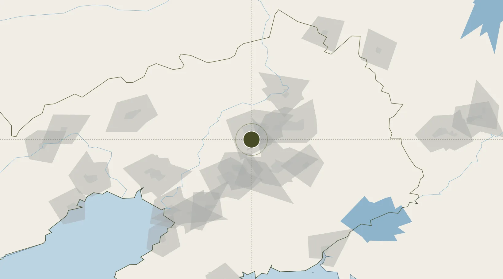
Nearby Logistics Neighbours

Ports
  1. 1Yingkou145 km
  2. 2Bayuquan186 km
  3. 3Dandong215 km
  4. 4Jinzhou Wan215 km
  5. 5Huludao Gang227 km
Nearest neighbours — logibook spatial index (haversine) over the source coordinates
Airports
  1. 1Shenyang Taoxian International Airport10 km
  2. 2Shenyang Dongta Airport17 km
  3. 3Shenyang Yuhong Quansheng Airport19 km
  4. 4Shenyang Beiling Air Base24 km
  5. 5Anshan Teng'ao Airport / Anshan Air Base76 km
Nearest neighbours — logibook spatial index (haversine) over the source coordinates
Cities
  1. 1Shenyang16 km
  2. 2Fushun49 km
  3. 3Anping62 km
  4. 4Anshan Teng'ao Apt62 km
  5. 5Anshan68 km
Nearest neighbours — logibook spatial index (haversine) over the source coordinates
Trade Zones
  1. 1Shenyang Capital Economic Development Zone14 km
  2. 2Shenyang Export Processing Zone17 km
  3. 3Shenyang-EU Economic Development Zone33 km
  4. 4Fushun Economic Development Zone35 km
  5. 5Taizihe Economic Development Zone45 km
Nearest neighbours — logibook spatial index (haversine) over the source coordinates
DatabookThe Record of Consolidated Knowledge
China beyond logistics?
Browse databook

All Sources

Trade ZonesOpen Zone Map
CC BY
Portsthe NGA World Port Index
Public domain (US gov)
AirportsOurAirports
Public domain
LocationsUN/LOCODE
UN/LOCODE — free
← China trade zones