Transport Functions
Port
Road
Hub Profile
Place type
Local administrative seat
Region
Guangdong
Population
17,291
Time zone
Asia/Shanghai
Elevation
9 m
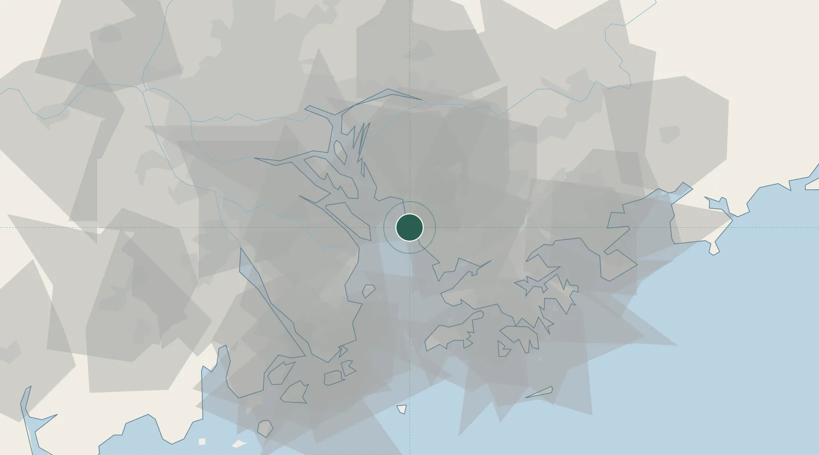
Location
Nearby Logistics Neighbours
Cities
- 1Jiujiang8 km
- 2Humen Pt11 km
- 3DA CHAN BAY13 km
- 4Nansha Pt13 km
- 5Guangzhou14 km
Ports
- 1Shekou22 km
- 2Yantian50 km
- 3Zhuhai51 km
- 4Huangpuxingang53 km
- 5Macau57 km
Airports
Trade Zones
DatabookThe Record of Consolidated Knowledge
China beyond logistics?