UN/LOCODE hub · China
CNGGZ

Guangzhou

22.6831°, 113.6529°
16,096,724
Population
5
Transport functions

Transport Functions

Port
Rail
Road
Airport
Postal
Guangzhou is also a profiled seaport →
UN/LOCODE

Hub Profile

Place type
Regional capital
GeoNames
Region
Guangdong
GeoNames
Population
16,096,724
GeoNames
Time zone
Asia/Shanghai
GeoNames
Elevation
15 m
GeoNames
Logistics facilities
22
UN/LOCODE

Location

Location of CNGGZ
Natural Earth 10m (public domain) · Guangdong · CNGGZ · 22.68, 113.65GoogleOSMYandex

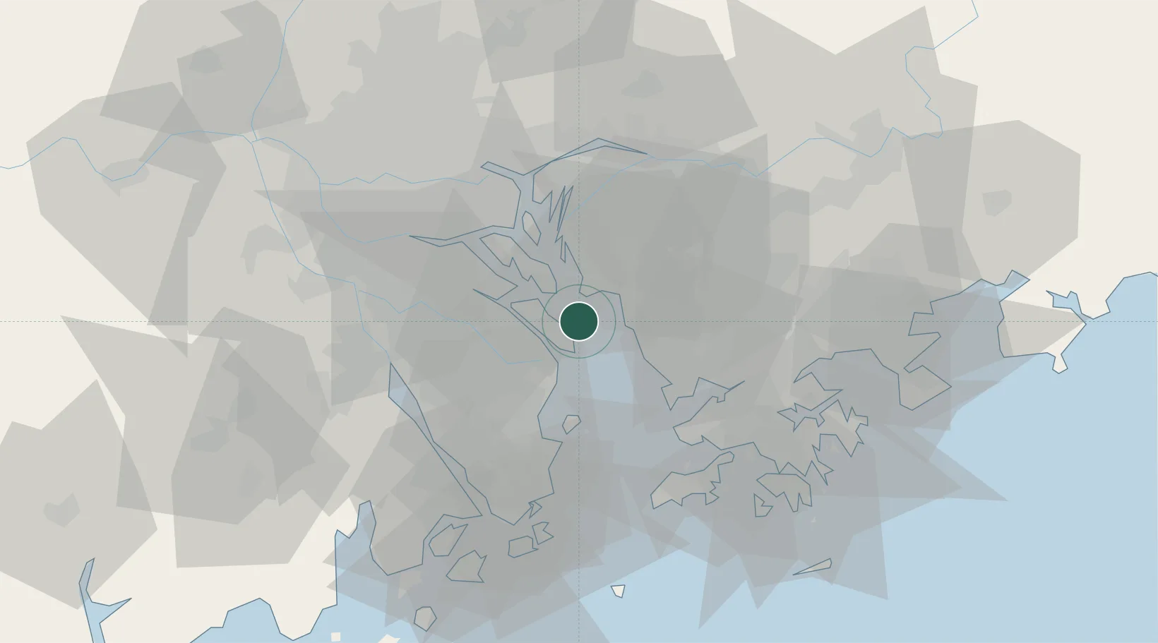
Nearby Logistics Neighbours

Cities
  1. 1Nansha Pt2 km
  2. 2Jiujiang7 km
  3. 3Taiping13 km
  4. 4Fuyong14 km
  5. 5Dongguan23 km
Nearest neighbours — logibook spatial index (haversine) over the source coordinates
Ports
  1. 1Shekou33 km
  2. 2Huangpuxingang44 km
  3. 3Zhuhai51 km
  4. 4Huangpu51 km
  5. 5Macau56 km
Nearest neighbours — logibook spatial index (haversine) over the source coordinates
Airports
  1. 1Shenzhen Bao'an International Airport16 km
  2. 2Hong Kong International Airport49 km
  3. 3Shek Kong Air Base52 km
  4. 4Macau International Airport60 km
  5. 5Shun Tak Heliport68 km
Nearest neighbours — logibook spatial index (haversine) over the source coordinates
Trade Zones
  1. 1Guangzhou Nansha Export Processing Zone8 km
  2. 2Zhongshan Industrial Park22 km
  3. 3Yuehai Equipment Industrial Park34 km
  4. 4Dongguan Water Town Development Zone37 km
  5. 5Zhongshan Industrial Park42 km
Nearest neighbours — logibook spatial index (haversine) over the source coordinates
DatabookThe Record of Consolidated Knowledge
China beyond logistics?
Browse databook

All Sources

LocationsUN/LOCODE
UN/LOCODE — free
LocationsGeoNames
CC BY 4.0
Portsthe NGA World Port Index
Public domain (US gov)
AirportsOurAirports
Public domain
Trade Zonesthe World Bank SEZ database
CC BY 4.0
Trade ZonesOpen Zone Map
CC BY
← China locations