Transport Functions
Port
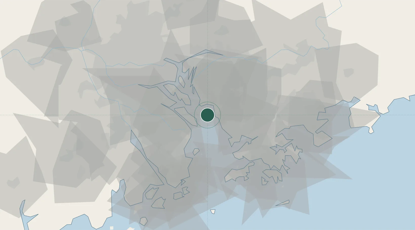
Hub Profile
Place type
Local administrative seat
Region
Guangdong
Time zone
Asia/Shanghai
Elevation
9 m
Logistics facilities
4
Location
Nearby Logistics Neighbours
DatabookThe Record of Consolidated Knowledge
China beyond logistics?