Diversified Zone · China

Jiutai Economic Development Zone Active
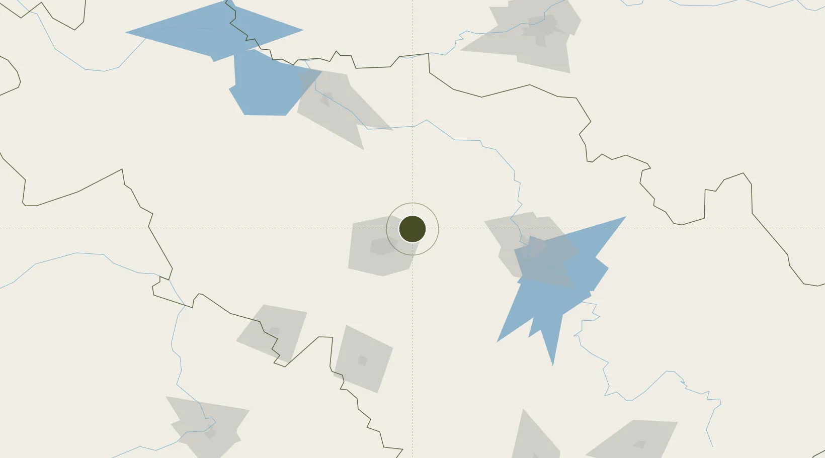
44.0215°, 125.5629°
501 ha
Zone area
427.6 km
Nearest port
10.2 km
Nearest airport

Gateway access

Nearest neighbours — logibook spatial index (haversine) over the source coordinates

Zone profile

Zone type
Diversified Zone
Open Zone Map
Region
Jilin
Open Zone Map
Status
Active
Open Zone Map
Management
Public
Open Zone Map
Operator
Management Committee of Jiutai Economic Development Zone
Open Zone Map
Legal framework
Established on July 15, 2003
Open Zone Map

Location

Location of ozm-544
Natural Earth 10m (public domain) · Jilin · ozm-544 · 44.02, 125.56GoogleOSMYandex

Nearby Logistics Neighbours

Ports
  1. 1Ch'ongjin428 km
  2. 2Najin433 km
  3. 3Pos'yet450 km
  4. 4Yingkou461 km
  5. 5Zarubino472 km
Nearest neighbours — logibook spatial index (haversine) over the source coordinates
Airports
  1. 1Changchun Longjia International Airport10 km
  2. 2Changchun Air Base32 km
  3. 3Gongzhuling Air Base83 km
  4. 4Songyuan Chaganhu Airport129 km
  5. 5Siping Air Base140 km
Nearest neighbours — logibook spatial index (haversine) over the source coordinates
Cities
  1. 1Changchun24 km
  2. 2Dehui58 km
  3. 3Jiashan107 km
  4. 4Liaoyuan129 km
  5. 5Shuangcheng158 km
Nearest neighbours — logibook spatial index (haversine) over the source coordinates
DatabookThe Record of Consolidated Knowledge
China beyond logistics?
Browse databook

All Sources

Trade ZonesOpen Zone Map
CC BY
Portsthe NGA World Port Index
Public domain (US gov)
AirportsOurAirports
Public domain
LocationsUN/LOCODE
UN/LOCODE — free
← China trade zones