Export Processing Zone · China

Jilin Province Dehui Economic Development Zone Active
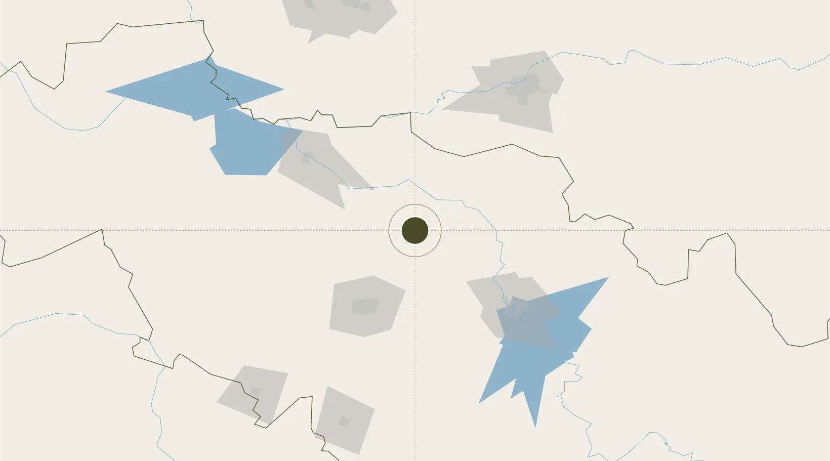
44.5183°, 125.7390°
2,500 ha
Zone area
447.6 km
Nearest port
58.2 km
Nearest airport

Gateway access

Nearest neighbours — logibook spatial index (haversine) over the source coordinates

Zone profile

Zone type
Export Processing Zone
Open Zone Map
Region
Jilin
Open Zone Map
Status
Active
Open Zone Map
Management
Public
Open Zone Map
Operator
Jilin Province Dehui Economic Development Zone Management committee
Open Zone Map
Legal framework
Provincial economic development zone approved by Jilin Provincial government in 1992
Open Zone Map

Location

Location of ozm-1378
Natural Earth 10m (public domain) · Jilin · ozm-1378 · 44.52, 125.74GoogleOSMYandex

Nearby Logistics Neighbours

Ports
  1. 1Najin448 km
  2. 2Ch'ongjin451 km
  3. 3Pos'yet457 km
  4. 4Zarubino479 km
  5. 5Slavyanka489 km
Nearest neighbours — logibook spatial index (haversine) over the source coordinates
Airports
  1. 1Changchun Longjia International Airport58 km
  2. 2Changchun Air Base81 km
  3. 3Songyuan Chaganhu Airport104 km
  4. 4Lalin Air Base123 km
  5. 5Harbin Taiping International Airport129 km
Nearest neighbours — logibook spatial index (haversine) over the source coordinates
Cities
  1. 1Dehui4 km
  2. 2Changchun77 km
  3. 3Shuangcheng102 km
  4. 4Harbin151 km
  5. 5Jiashan163 km
Nearest neighbours — logibook spatial index (haversine) over the source coordinates
DatabookThe Record of Consolidated Knowledge
China beyond logistics?
Browse databook

All Sources

Trade ZonesOpen Zone Map
CC BY
Portsthe NGA World Port Index
Public domain (US gov)
AirportsOurAirports
Public domain
LocationsUN/LOCODE
UN/LOCODE — free
← China trade zones