Transport Functions
Rail
Road
Hub Profile
Place type
District seat
Region
Qinghai
Population
114,712
Time zone
Asia/Shanghai
Elevation
2,487 m
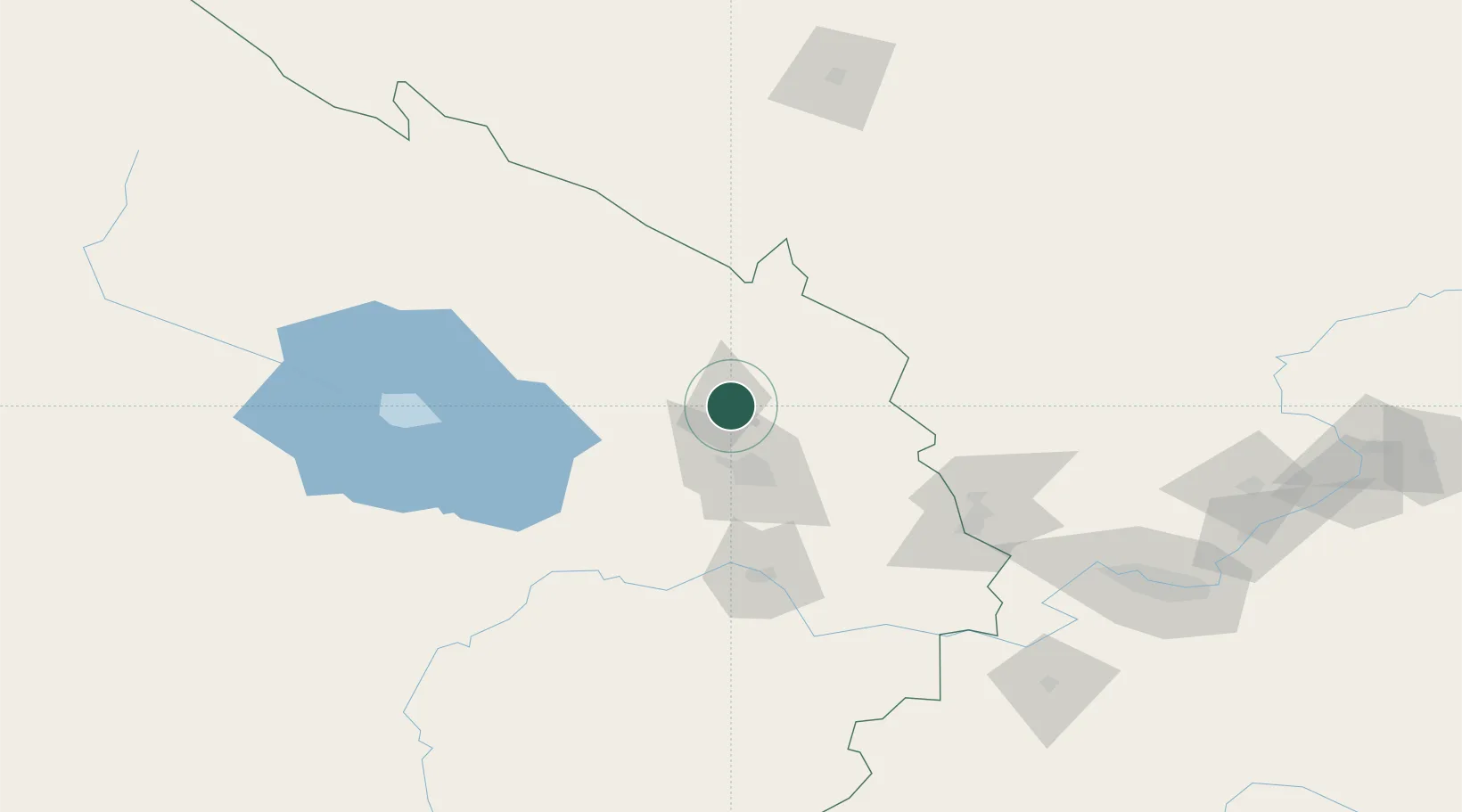
Location
Nearby Logistics Neighbours
Ports
- 1Hankow1359 km
- 2Tianjin Xin Gang1431 km
- 3Fang-Cheng1806 km
- 4Qinzhou1816 km
- 5Hai Phong1845 km
Airports
- 1Xining Caojiabao International Airport54 km
- 2Gonghe Air Base128 km
- 3Wuwei Air Base140 km
- 4Haibei Qilian Airport152 km
- 5Lanzhou Zhongchuan International Airport177 km
DatabookThe Record of Consolidated Knowledge
China beyond logistics?