Transport Functions
Rail
Road
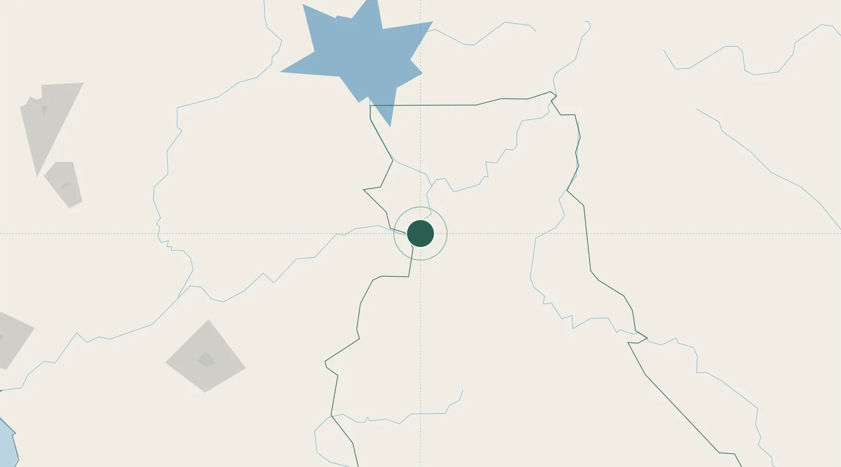
Hub Profile
Place type
Populated place
Region
East
Population
24,359
Time zone
Africa/Douala
Elevation
614 m
Location
Nearby Logistics Neighbours
Cities
- 1Banana156 km
- 2Ngaoundéré271 km
- 3Nkongsamba373 km
- 4Edéa376 km
- 5Ebebiyín380 km
Ports
- 1Douala413 km
- 2Kome Kribi 1 Marine Terminal448 km
- 3Ebome Marine Terminal453 km
- 4Limboh Terminal472 km
- 5Malabo518 km
Airports
- 1Yaoundé Ville Airport232 km
- 2Yaoundé Nsimalen International Airport236 km
- 3N'Gaoundéré Airport271 km
- 4Berbérati Airport287 km
- 5Foumban Nkounja Airport293 km
Trade Zones
- 1Nsam-Mvan Industrial Zone234 km
- 2Ngaoundere Industrial Zone270 km
- 3Banengo Industrial Zone326 km
- 4Bassa-Douala Industrial Zone406 km
- 5Bonaberi-Douala Industrial Zone412 km
DatabookThe Record of Consolidated Knowledge
Cameroon beyond logistics?