Transport Functions
Port
Road
Hub Profile
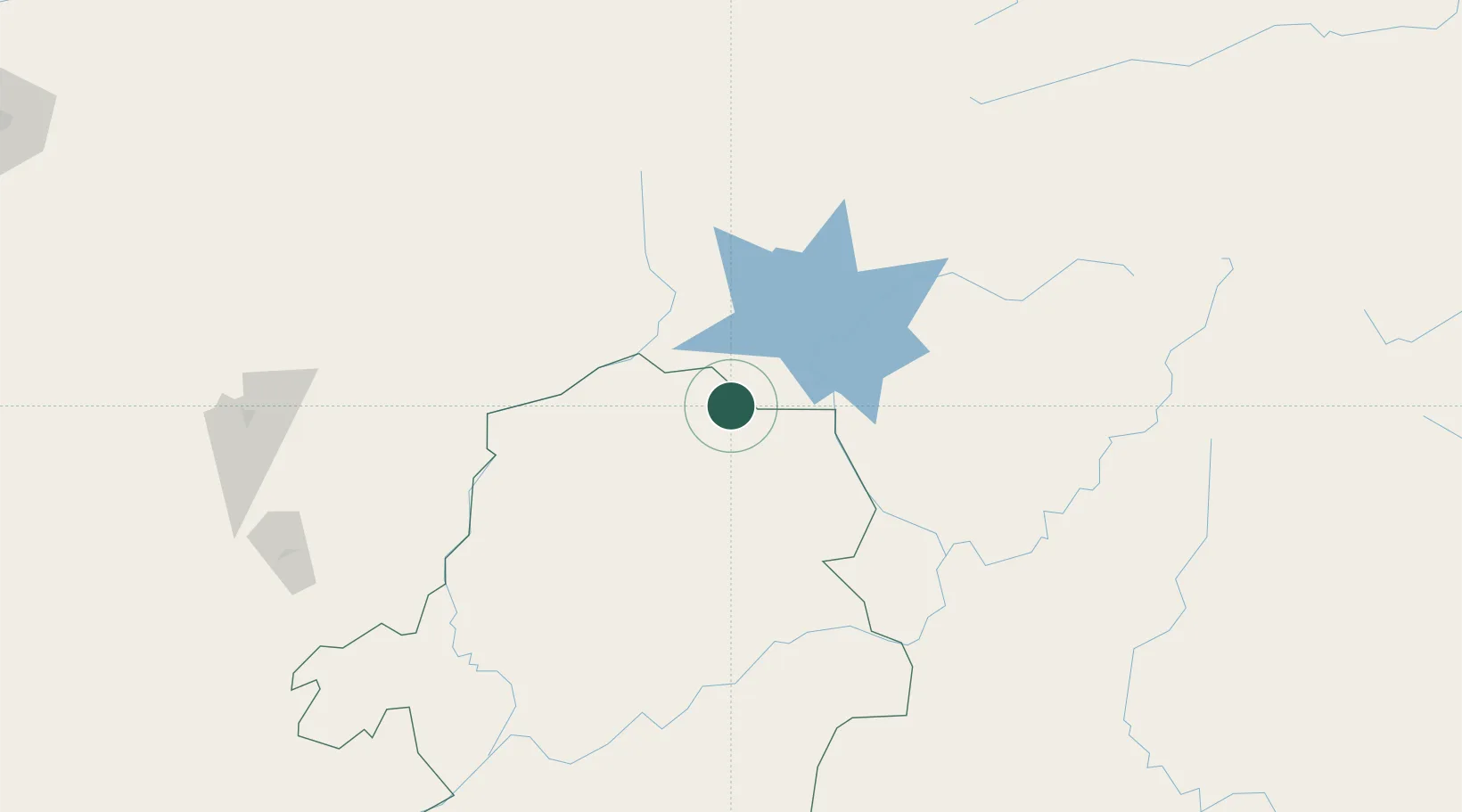
Place type
Populated place
Region
Bas-Congo
Time zone
Africa/Kinshasa
Location
Nearby Logistics Neighbours
Cities
- 1Bélabo156 km
- 2Ngaoundéré197 km
- 3Mararaba279 km
- 4Borno293 km
- 5Nkongsamba298 km
Ports
- 1Douala372 km
- 2Limboh Terminal425 km
- 3Kome Kribi 1 Marine Terminal449 km
- 4Ebome Marine Terminal458 km
- 5Calabar467 km
Airports
- 1Foumban Nkounja Airport187 km
- 2N'Gaoundéré Airport197 km
- 3Bafoussam Airport233 km
- 4Bamenda Airport252 km
- 5Yaoundé Ville Airport261 km
Trade Zones
- 1Ngaoundere Industrial Zone196 km
- 2Banengo Industrial Zone229 km
- 3Nsam-Mvan Industrial Zone264 km
- 4Sebore Farms Export Processing Zone353 km
- 5Bassa-Douala Industrial Zone367 km
DatabookThe Record of Consolidated Knowledge
Congo - Kinshasa beyond logistics?