Transport Functions
Port
Airport
Hub Profile
Place type
Provincial seat
Region
Coquimbo Region
Population
77,138
Time zone
America/Santiago
Elevation
218 m
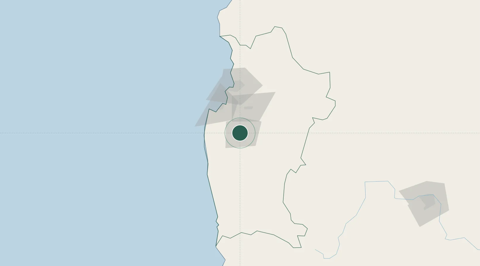
Location
Nearby Logistics Neighbours
Ports
- 1Bahia Herradura Guayacan70 km
- 2Coquimbo72 km
- 3Huasco235 km
- 4Bahia Quintero (Ventanas)245 km
- 5Bahia De Valparaiso275 km
Airports
Trade Zones
DatabookThe Record of Consolidated Knowledge
Chile beyond logistics?