Transport Functions
Rail
Road
Hub Profile
Place type
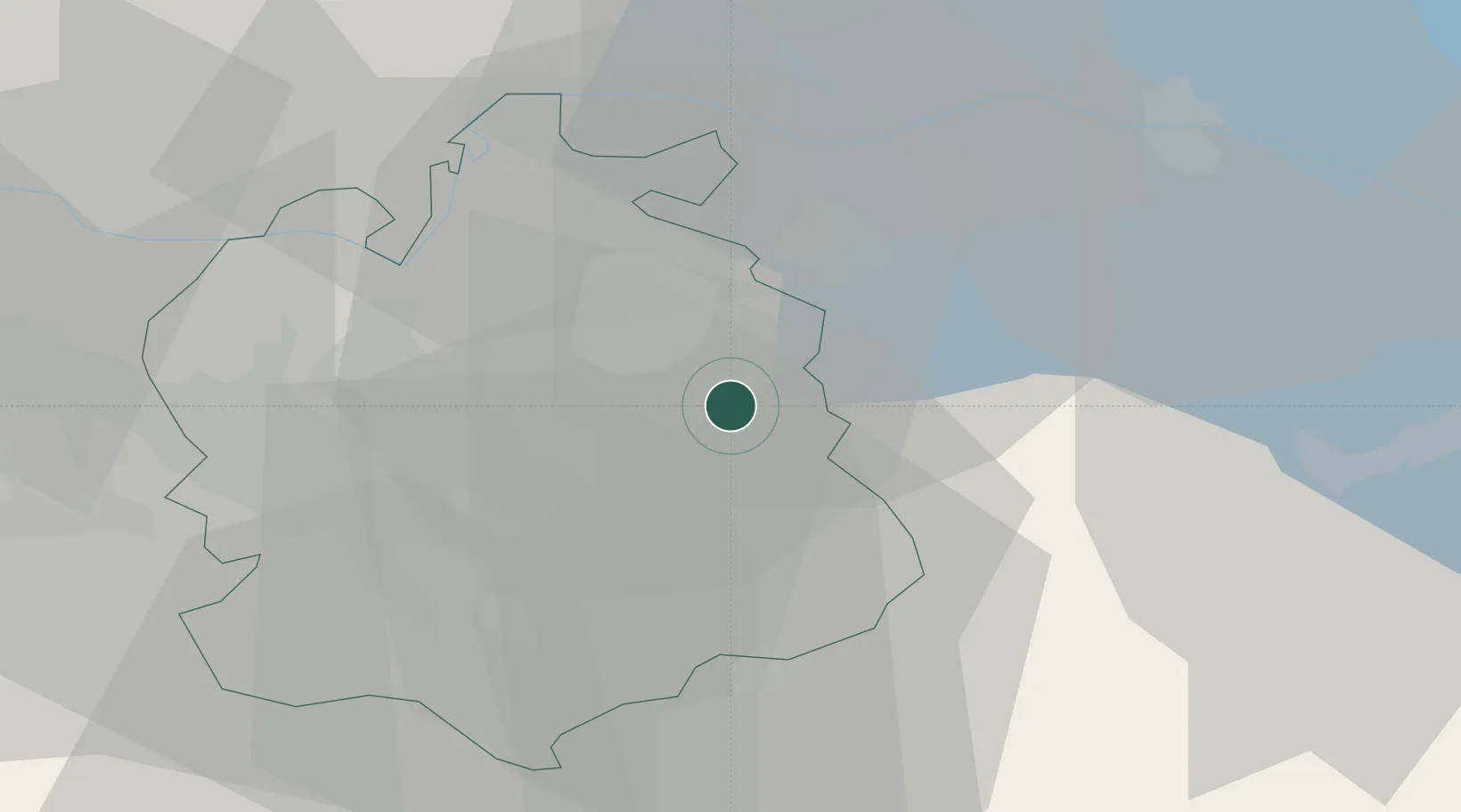
Populated place
Region
Zurich
Population
289
Time zone
Europe/Zurich
Elevation
532 m
Location
Nearby Logistics Neighbours
Cities
- 1Turbenthal2 km
- 2Kollbrunn3 km
- 3Kollbrunn3 km
- 4Stallikon7 km
- 5Balterswil9 km
Ports
- 1Genova340 km
- 2Savona349 km
- 3Chiavari - Lavagna352 km
- 4Rada Di Vado355 km
- 5Porto Di Lido-Venezia358 km
Airports
- 1Dübendorf Air Base14 km
- 2Zürich Airport20 km
- 3Emmen Air Base55 km
- 4Sankt Gallen Altenrhein Airport56 km
- 5Bodensee Airport Friedrichshafen58 km
Trade Zones
- 1ZFU Mulhouse116 km
- 2Livigno Free Trade Zone141 km
- 3ZFU Neuhof144 km
- 4ZFU Hautepierre152 km
- 5ZFU Belfort153 km
DatabookThe Record of Consolidated Knowledge
Switzerland beyond logistics?