Transport Functions
Road
Multimodal
Hub Profile
Place type
Populated place
Region
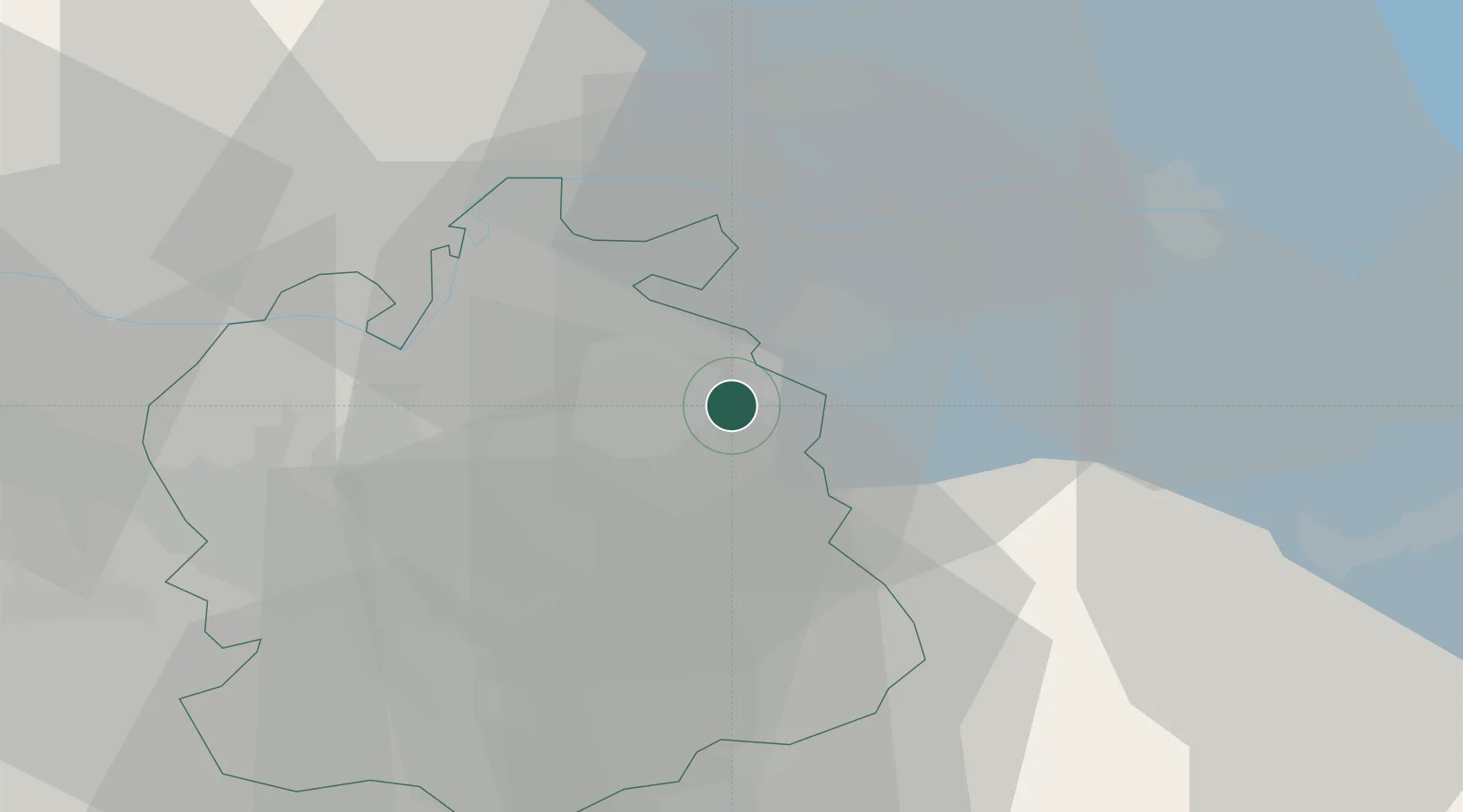
Zurich
Population
456
Time zone
Europe/Zurich
Elevation
555 m
Location
Nearby Logistics Neighbours
Cities
- 1Rickenbach-Attikon5 km
- 2Dinhard5 km
- 3Zell7 km
- 4Seuzach8 km
- 5Kollbrunn8 km
Ports
- 1Genova347 km
- 2Savona357 km
- 3Chiavari - Lavagna359 km
- 4Porto Di Lido-Venezia362 km
- 5Rada Di Vado363 km
Airports
Trade Zones
- 1ZFU Mulhouse114 km
- 2ZFU Neuhof138 km
- 3ZFU Hautepierre146 km
- 4Livigno Free Trade Zone146 km
- 5ZFU Belfort152 km
DatabookThe Record of Consolidated Knowledge
Switzerland beyond logistics?