Transport Functions
Multimodal
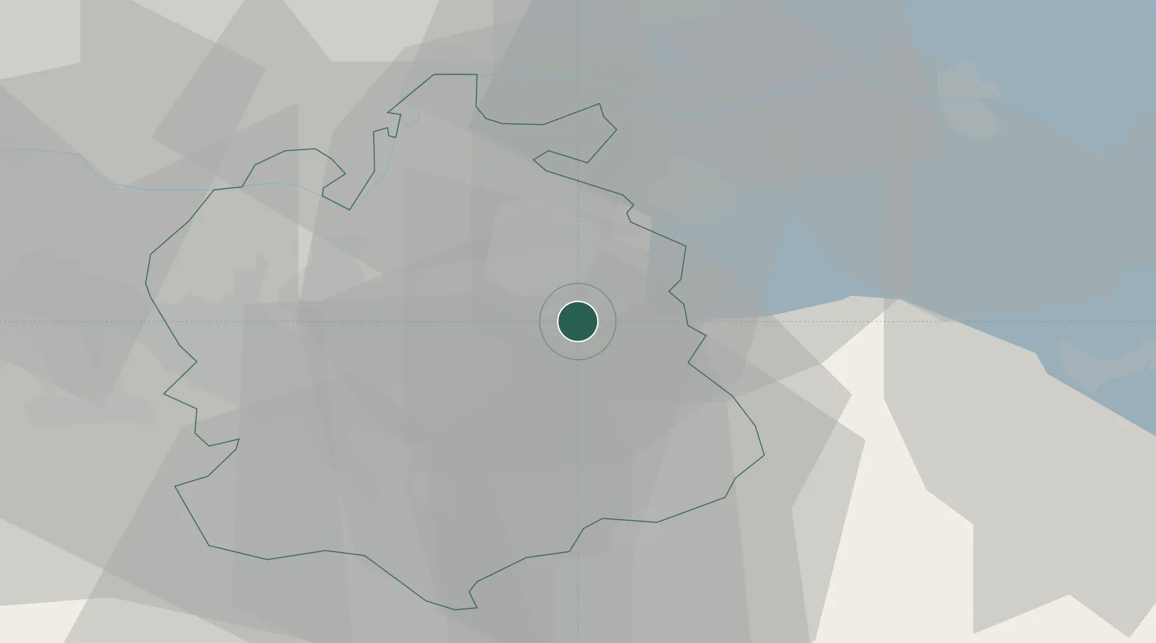
Location
Nearby Logistics Neighbours
Cities
- 1Kollbrunn0 km
- 2Zell3 km
- 3Turbenthal4 km
- 4Tagelswangen8 km
- 5Stallikon8 km
Ports
- 1Genova340 km
- 2Savona349 km
- 3Chiavari - Lavagna352 km
- 4Rada Di Vado355 km
- 5Porto Di Lido-Venezia360 km
Airports
- 1Dübendorf Air Base12 km
- 2Zürich Airport18 km
- 3Emmen Air Base54 km
- 4Sankt Gallen Altenrhein Airport59 km
- 5Bodensee Airport Friedrichshafen60 km
Trade Zones
- 1ZFU Mulhouse114 km
- 2Livigno Free Trade Zone143 km
- 3ZFU Neuhof143 km
- 4ZFU Belfort150 km
- 5ZFU Montbéliard150 km
DatabookThe Record of Consolidated Knowledge
Eswatini beyond logistics?