Transport Functions
Road
Multimodal
Hub Profile
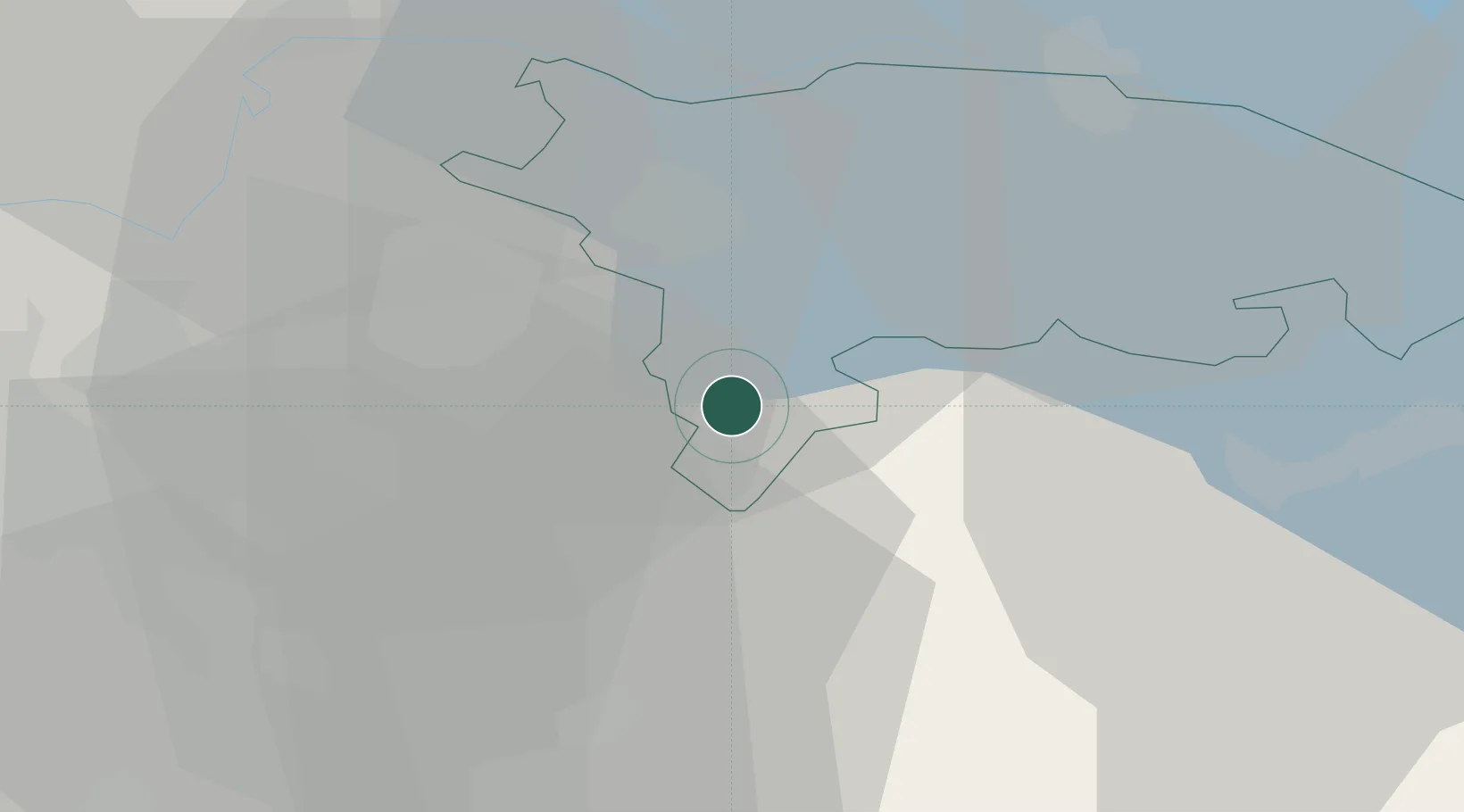
Place type
Populated place
Region
Thurgau
Time zone
Europe/Zurich
Elevation
579 m
Location
Nearby Logistics Neighbours
Cities
- 1Eschlikon3 km
- 2Dussnang3 km
- 3Sirnach5 km
- 4Wängi6 km
- 5Bettwiesen7 km
Ports
- 1Genova339 km
- 2Savona350 km
- 3Porto Di Lido-Venezia351 km
- 4Chiavari - Lavagna351 km
- 5Rada Di Vado356 km
Airports
- 1Dübendorf Air Base22 km
- 2Zürich Airport29 km
- 3Sankt Gallen Altenrhein Airport47 km
- 4Bodensee Airport Friedrichshafen50 km
- 5Emmen Air Base62 km
Trade Zones
- 1ZFU Mulhouse124 km
- 2Livigno Free Trade Zone135 km
- 3ZFU Neuhof149 km
- 4ZFU Hautepierre157 km
- 5ZFU Belfort161 km
DatabookThe Record of Consolidated Knowledge
Switzerland beyond logistics?