Transport Functions
Rail
Road
Hub Profile
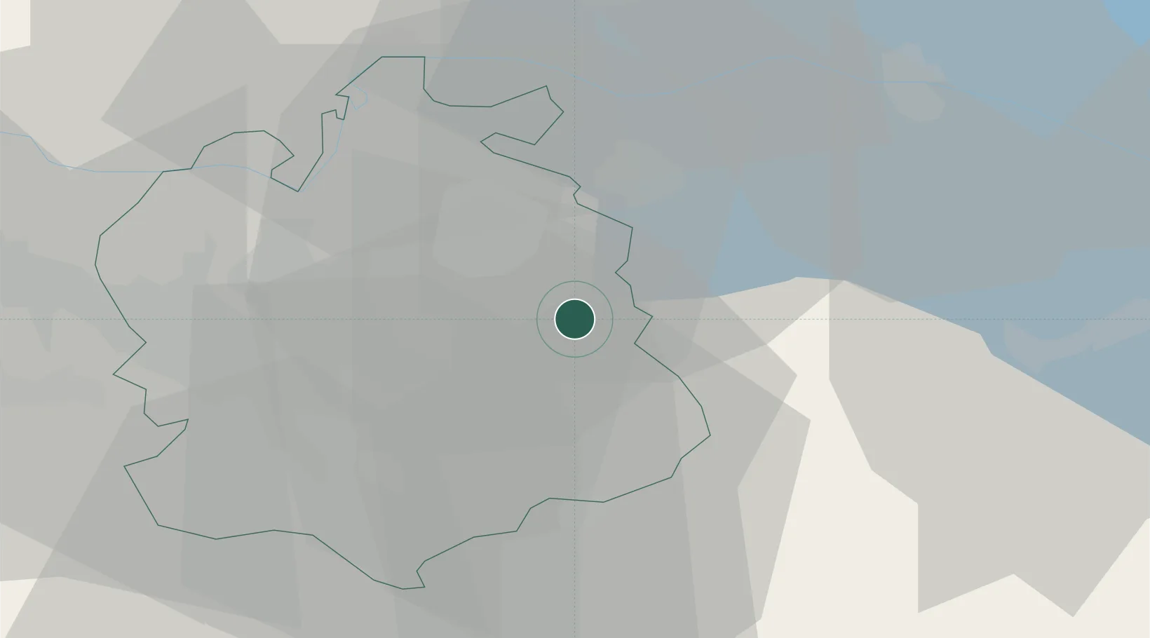
Place type
Populated place
Region
Zurich
Population
3,109
Time zone
Europe/Zurich
Elevation
555 m
Location
Nearby Logistics Neighbours
Cities
- 1Zell2 km
- 2Kollbrunn4 km
- 3Kollbrunn4 km
- 4Balterswil8 km
- 5Fehraltorf8 km
Ports
- 1Genova338 km
- 2Savona348 km
- 3Chiavari - Lavagna350 km
- 4Rada Di Vado354 km
- 5Porto Di Lido-Venezia356 km
Airports
- 1Dübendorf Air Base15 km
- 2Zürich Airport22 km
- 3Sankt Gallen Altenrhein Airport55 km
- 4Emmen Air Base55 km
- 5Bodensee Airport Friedrichshafen57 km
Trade Zones
- 1ZFU Mulhouse118 km
- 2Livigno Free Trade Zone139 km
- 3ZFU Neuhof147 km
- 4ZFU Belfort154 km
- 5ZFU Montbéliard154 km
DatabookThe Record of Consolidated Knowledge
Switzerland beyond logistics?