Transport Functions
Multimodal
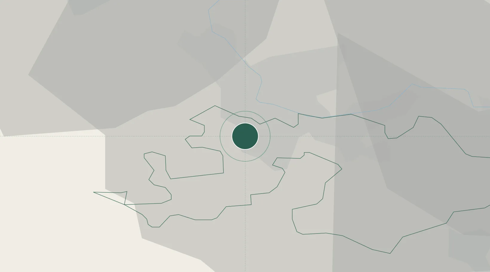
Hub Profile
Place type
Populated place
Region
Basel-Landschaft
Population
5,912
Time zone
Europe/Zurich
Elevation
295 m
Location
Nearby Logistics Neighbours
Cities
- 1Oberwil1 km
- 2Binningen2 km
- 3Therwil2 km
- 4Basel Schweizerhalle4 km
- 5Hégenheim5 km
Ports
- 1Genova362 km
- 2Savona363 km
- 3Rada Di Vado368 km
- 4Chiavari - Lavagna382 km
- 5Imperia406 km
Airports
- 1EuroAirport Basel–Mulhouse–Freiburg10 km
- 2Grenchen Airfield39 km
- 3Montbéliard-Courcelles Airfield58 km
- 4Bern Airport67 km
- 5Colmar Houssen airport68 km
Trade Zones
- 1ZFU Mulhouse31 km
- 2ZFU Montbéliard59 km
- 3ZFU Belfort59 km
- 4ZFU Neuhof115 km
- 5PESA - Port-Franc et Entrepôts de Lausanne-Chavornay SA118 km
DatabookThe Record of Consolidated Knowledge
Switzerland beyond logistics?