Transport Functions
Rail
Road
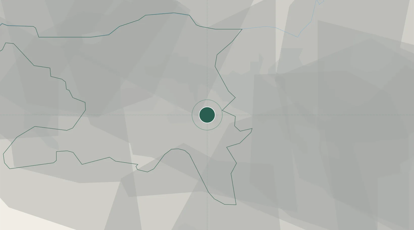
Hub Profile
Place type
Provincial seat
Region
Aargau
Population
6,543
Time zone
Europe/Zurich
Elevation
389 m
Location
Nearby Logistics Neighbours
Cities
- 1Waltenschwil5 km
- 2Dottikon8 km
- 3Birmensdorf8 km
- 4Jonen9 km
- 5Mägenwil9 km
Ports
- 1Genova333 km
- 2Savona339 km
- 3Rada Di Vado345 km
- 4Chiavari - Lavagna349 km
- 5La Spezia381 km
Airports
- 1Zürich Airport19 km
- 2Dübendorf Air Base24 km
- 3Emmen Air Base31 km
- 4Alpnach Air Base47 km
- 5EuroAirport Basel–Mulhouse–Freiburg66 km
Trade Zones
- 1ZFU Mulhouse86 km
- 2ZFU Montbéliard117 km
- 3ZFU Belfort119 km
- 4ZFU Neuhof137 km
- 5ZFU Hautepierre145 km
DatabookThe Record of Consolidated Knowledge
Switzerland beyond logistics?