Transport Functions
Rail
Road
Hub Profile
Place type
Populated place
Region
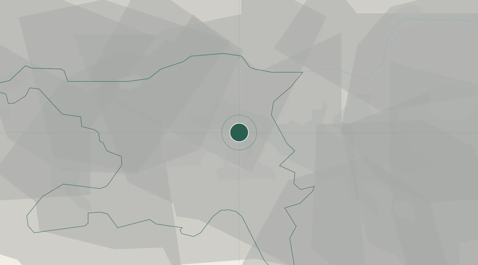
Aargau
Time zone
Europe/Zurich
Elevation
436 m
Location
Nearby Logistics Neighbours
Cities
- 1Turgi5 km
- 2Mägenwil5 km
- 3Untersiggenthal6 km
- 4Würenlos6 km
- 5Birr7 km
Ports
- 1Genova343 km
- 2Savona349 km
- 3Rada Di Vado354 km
- 4Chiavari - Lavagna359 km
- 5Porto Di Lido-Venezia390 km
Airports
- 1Zürich Airport20 km
- 2Dübendorf Air Base28 km
- 3Emmen Air Base40 km
- 4Alpnach Air Base56 km
- 5EuroAirport Basel–Mulhouse–Freiburg60 km
Trade Zones
- 1ZFU Mulhouse78 km
- 2ZFU Montbéliard113 km
- 3ZFU Belfort113 km
- 4ZFU Neuhof127 km
- 5ZFU Hautepierre135 km
DatabookThe Record of Consolidated Knowledge
Switzerland beyond logistics?