UN/LOCODE hub · Switzerland
CHWAL
Waltenschwil
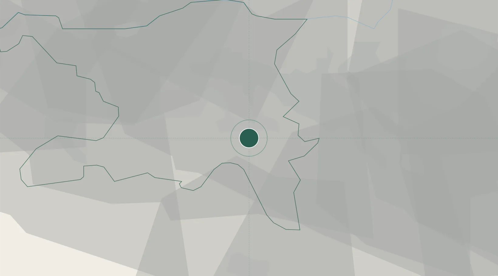
47.3333°, 8.3000°
2,192
Population
2
Transport functions
Transport Functions
Road
Multimodal
Hub Profile
Place type
Populated place
Region
Aargau
Population
2,192
Time zone
Europe/Zurich
Elevation
425 m
Location
Nearby Logistics Neighbours
Cities
- 1Bremgarten5 km
- 2Boswil6 km
- 3Dottikon8 km
- 4Meisterschwanden8 km
- 5Muri8 km
Ports
- 1Genova330 km
- 2Savona336 km
- 3Rada Di Vado341 km
- 4Chiavari - Lavagna346 km
- 5La Spezia379 km
Airports
- 1Zürich Airport23 km
- 2Emmen Air Base27 km
- 3Dübendorf Air Base27 km
- 4Alpnach Air Base43 km
- 5EuroAirport Basel–Mulhouse–Freiburg66 km
Trade Zones
- 1ZFU Mulhouse86 km
- 2ZFU Montbéliard116 km
- 3ZFU Belfort118 km
- 4ZFU Neuhof140 km
- 5ZFU Hautepierre147 km
DatabookThe Record of Consolidated Knowledge
Switzerland beyond logistics?