Seaport · Italy
La SpeziaITSPE
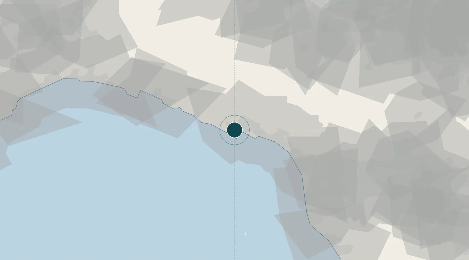
44.1000°, 9.8333°
14.0 m
Channel depth
2
Container terminals
302.6
Port liner connectivity
Channel & Berth Profile
Pilotage, Tugs & Services
Pilotage compulsoryYES
Pilotage advisableYES
Tug assistanceYES
Salvage tugsYES
Potable waterYES
Diesel bunkersYES
MedicalYES
Garbage disposalYES
Facilities & Capabilities
Container—
Ro-Ro—
Liquid bulk—
Dry bulk—
Oil terminal—
Break bulk—
Dry dockNO
RepairsNO
BunkeringYES
Rail linkYES
Dangerous cargo—
ISPS security—
Harbour Specifications
Harbour size
Large
Harbour type
Coastal (Breakwater)
Shelter
Good
Water body
Ligurian Sea; Mediterranean Sea; North Atlantic Ocean
Tidal range
1 m
Pilotage
Yes
Liner Connectivity
302.6
PLSCI
Port Liner Shipping Connectivity Index for La Spezia, as published by UNCTAD for the latest available quarter. Higher values indicate stronger scheduled liner-shipping integration.
Shown relative to the highest per-port PLSCI in the dataset (1,657.9).
Location
Container Terminals · 2
LA SPEZIA CONTAINER TERMINAL (LSCT)
LSCT LA SPEZIA CONTAINER TERMINAL
TERMINAL DEL GOLFO (TDG)
TDG TERMINAL DEL GOLFO
Nearby Logistics Neighbours
Ports
- 1Marina Di Carrara19 km
- 2Viareggio42 km
- 3Chiavari - Lavagna46 km
- 4Livorno72 km
- 5Genova80 km
Cities
- 1Portovenere6 km
- 2Vezzano Ligure7 km
- 3Lerici8 km
- 4Riomaggiore8 km
- 5Ceparana8 km
Airports
Trade Zones
- 1Magazzini Generali Con Chiasso206 km
- 2ZFU LAriane208 km
- 3Consorzio Zona Industriale e Porto Fluviale di Padova219 km
- 4Free Port of Venice245 km
- 5Livigno Free Trade Zone271 km
DatabookThe Record of Consolidated Knowledge
Italy beyond logistics?