UN/LOCODE hub · Switzerland
CHMWA
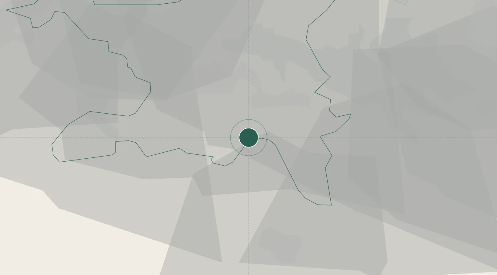
Meisterschwanden
47.2833°, 8.2333°
2,459
Population
2
Transport functions
Transport Functions
Port
Road
Hub Profile
Place type
Populated place
Region
Aargau
Population
2,459
Time zone
Europe/Zurich
Elevation
503 m
Location
Nearby Logistics Neighbours
Ports
- 1Genova325 km
- 2Savona331 km
- 3Rada Di Vado336 km
- 4Chiavari - Lavagna342 km
- 5La Spezia375 km
Airports
- 1Emmen Air Base22 km
- 2Zürich Airport31 km
- 3Dübendorf Air Base34 km
- 4Alpnach Air Base38 km
- 5Grenchen Airfield63 km
Trade Zones
- 1ZFU Mulhouse85 km
- 2ZFU Montbéliard112 km
- 3ZFU Belfort115 km
- 4PESA - Port-Franc et Entrepôts de Lausanne-Chavornay SA142 km
- 5ZFU Neuhof144 km
DatabookThe Record of Consolidated Knowledge
Switzerland beyond logistics?