Transport Functions
Rail
Road
Hub Profile
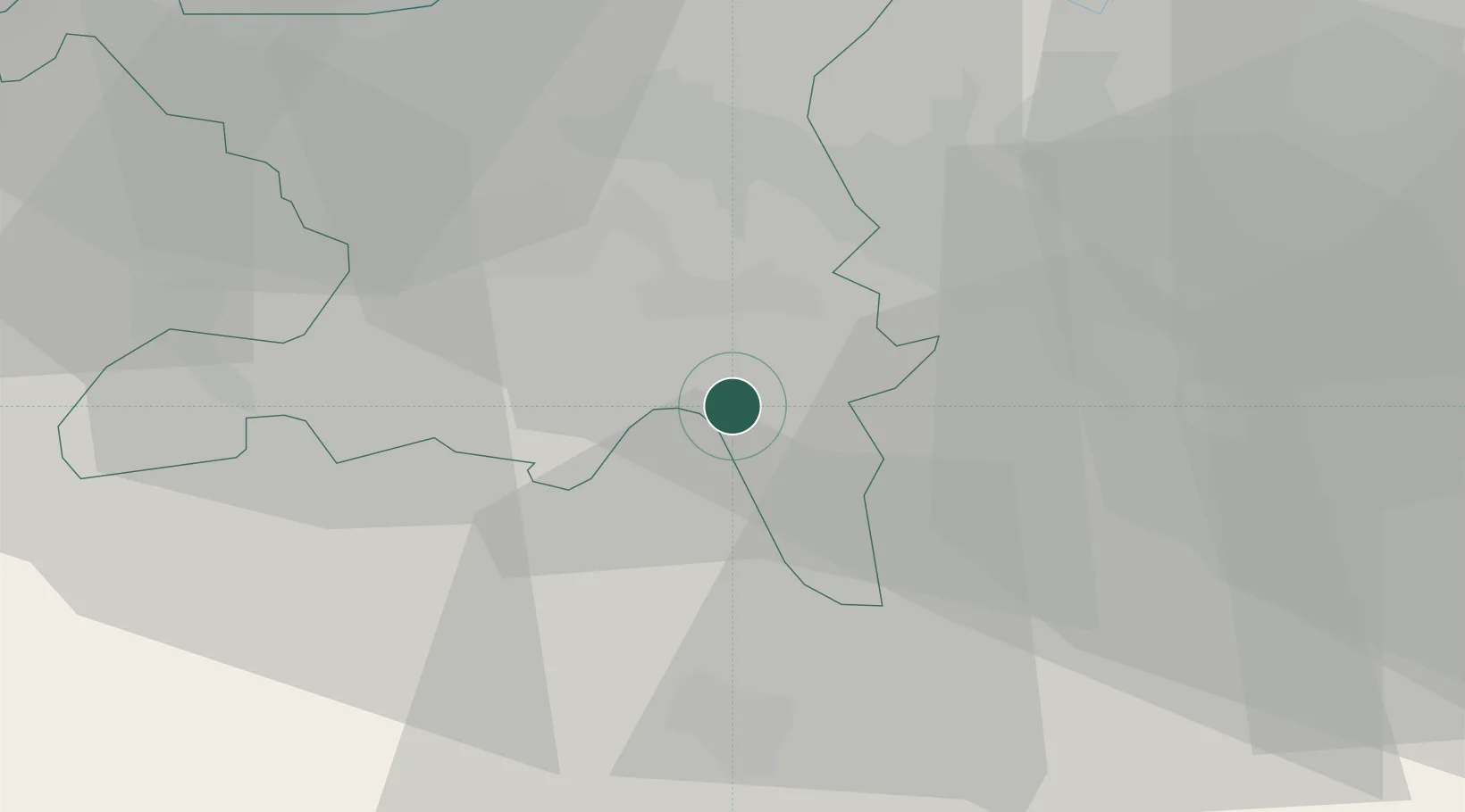
Place type
Populated place
Region
Aargau
Time zone
Europe/Zurich
Elevation
451 m
Location
Nearby Logistics Neighbours
Cities
- 1Muri3 km
- 2Aesch4 km
- 3Meisterschwanden5 km
- 4Waltenschwil6 km
- 5Hitzkirch6 km
Ports
- 1Genova324 km
- 2Savona330 km
- 3Rada Di Vado336 km
- 4Chiavari - Lavagna341 km
- 5La Spezia373 km
Airports
- 1Emmen Air Base21 km
- 2Zürich Airport27 km
- 3Dübendorf Air Base29 km
- 4Alpnach Air Base38 km
- 5Grenchen Airfield68 km
Trade Zones
- 1ZFU Mulhouse89 km
- 2ZFU Montbéliard117 km
- 3ZFU Belfort119 km
- 4ZFU Neuhof145 km
- 5PESA - Port-Franc et Entrepôts de Lausanne-Chavornay SA146 km
DatabookThe Record of Consolidated Knowledge
Switzerland beyond logistics?