Transport Functions
Rail
Road
Hub Profile
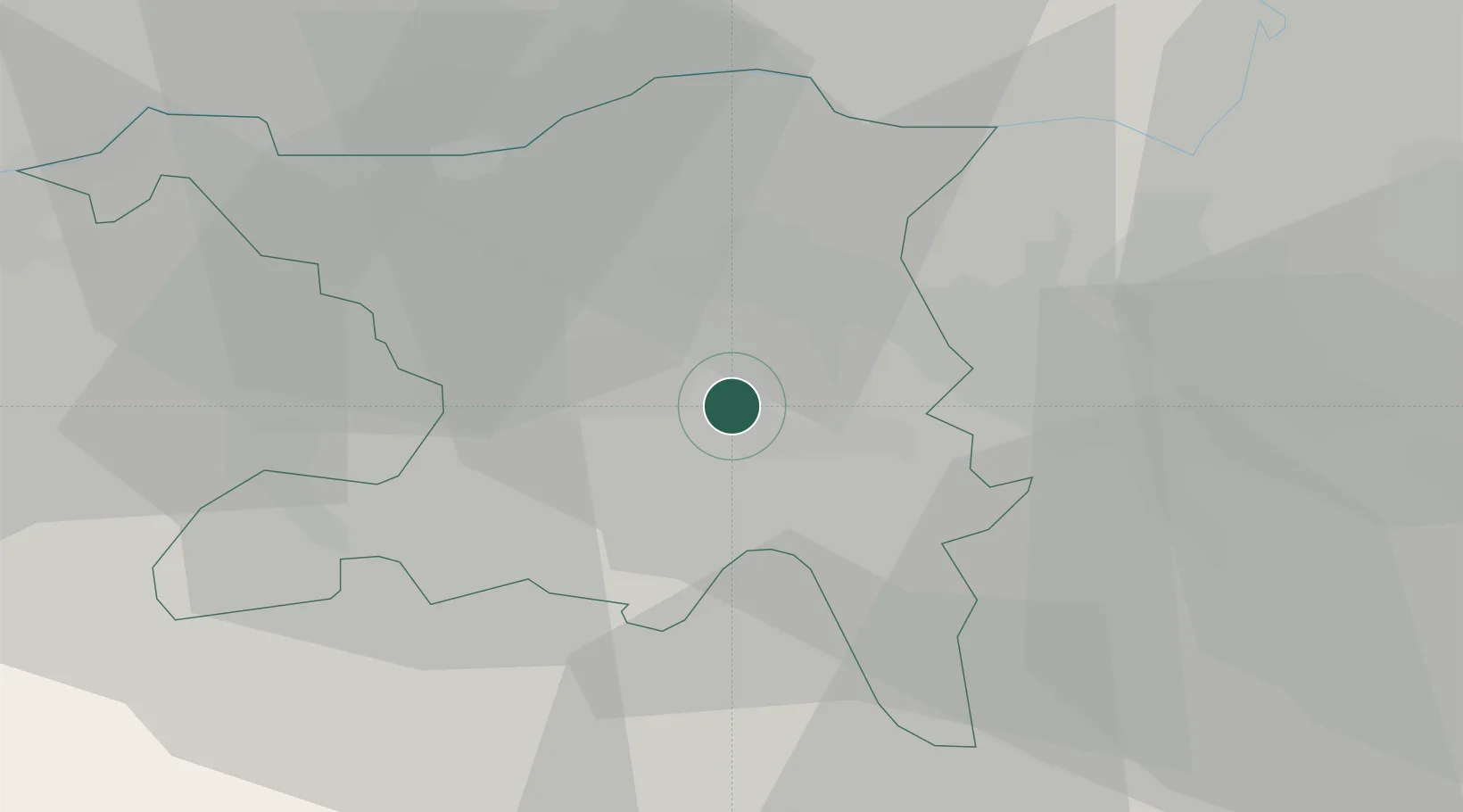
Place type
Populated place
Region
Aargau
Population
3,125
Time zone
Europe/Zurich
Elevation
416 m
Location
Nearby Logistics Neighbours
Ports
- 1Genova336 km
- 2Savona342 km
- 3Rada Di Vado347 km
- 4Chiavari - Lavagna353 km
- 5La Spezia386 km
Airports
- 1Zürich Airport25 km
- 2Dübendorf Air Base31 km
- 3Emmen Air Base33 km
- 4Alpnach Air Base49 km
- 5EuroAirport Basel–Mulhouse–Freiburg59 km
Trade Zones
- 1ZFU Mulhouse79 km
- 2ZFU Montbéliard110 km
- 3ZFU Belfort111 km
- 4ZFU Neuhof133 km
- 5ZFU Hautepierre141 km
DatabookThe Record of Consolidated Knowledge
Switzerland beyond logistics?