Transport Functions
Rail
Road
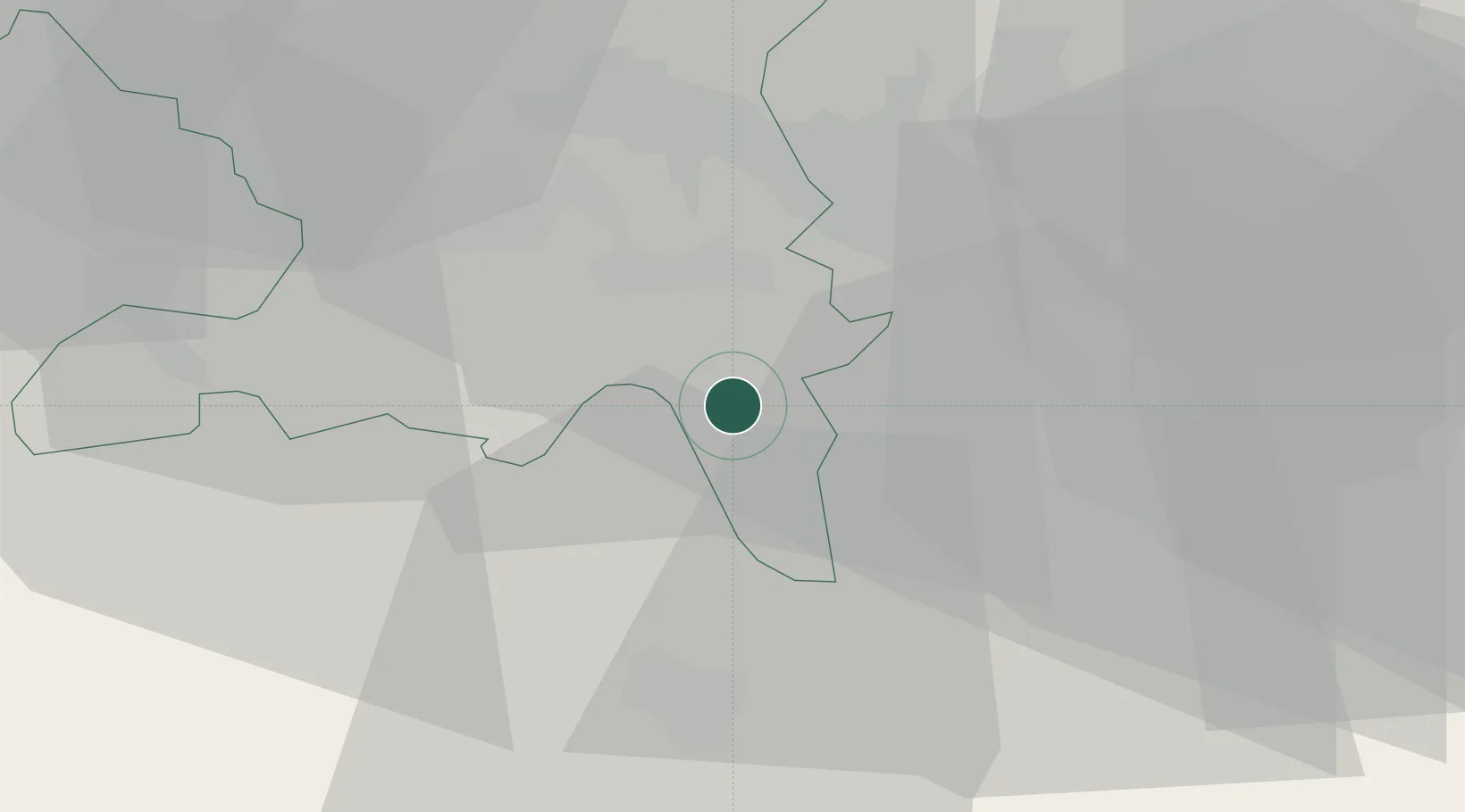
Hub Profile
Place type
Provincial seat
Region
Aargau
Population
6,463
Time zone
Europe/Zurich
Elevation
478 m
Location
Nearby Logistics Neighbours
Cities
- 1Boswil3 km
- 2Merenschwand3 km
- 3Jonen6 km
- 4Hitzkirch6 km
- 5Aesch6 km
Ports
- 1Genova322 km
- 2Savona328 km
- 3Rada Di Vado334 km
- 4Chiavari - Lavagna338 km
- 5La Spezia371 km
Airports
- 1Emmen Air Base20 km
- 2Zürich Airport27 km
- 3Dübendorf Air Base28 km
- 4Alpnach Air Base36 km
- 5Grenchen Airfield70 km
Trade Zones
- 1ZFU Mulhouse92 km
- 2ZFU Montbéliard119 km
- 3ZFU Belfort122 km
- 4PESA - Port-Franc et Entrepôts de Lausanne-Chavornay SA148 km
- 5ZFU Neuhof148 km
DatabookThe Record of Consolidated Knowledge
Switzerland beyond logistics?