Transport Functions
Rail
Road
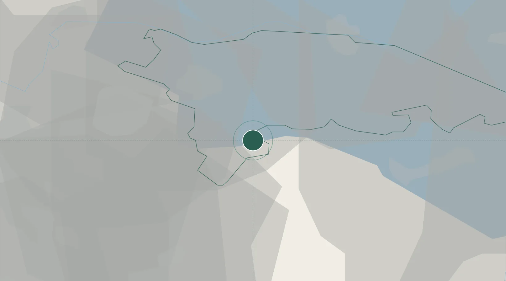
Hub Profile
Place type
Populated place
Region
Thurgau
Population
6,463
Time zone
Europe/Zurich
Elevation
541 m
Location
Nearby Logistics Neighbours
Cities
- 1Bettwiesen2 km
- 2Eschlikon3 km
- 3Bronschhofen3 km
- 4Tägerschen4 km
- 5Dussnang5 km
Ports
- 1Genova341 km
- 2Porto Di Lido-Venezia348 km
- 3Savona352 km
- 4Chiavari - Lavagna353 km
- 5Porto Di Chioggia355 km
Airports
Trade Zones
- 1ZFU Mulhouse129 km
- 2Livigno Free Trade Zone133 km
- 3ZFU Neuhof151 km
- 4ZFU Hautepierre159 km
- 5ZFU Belfort166 km
DatabookThe Record of Consolidated Knowledge
Switzerland beyond logistics?