Transport Functions
Road
Multimodal
Hub Profile
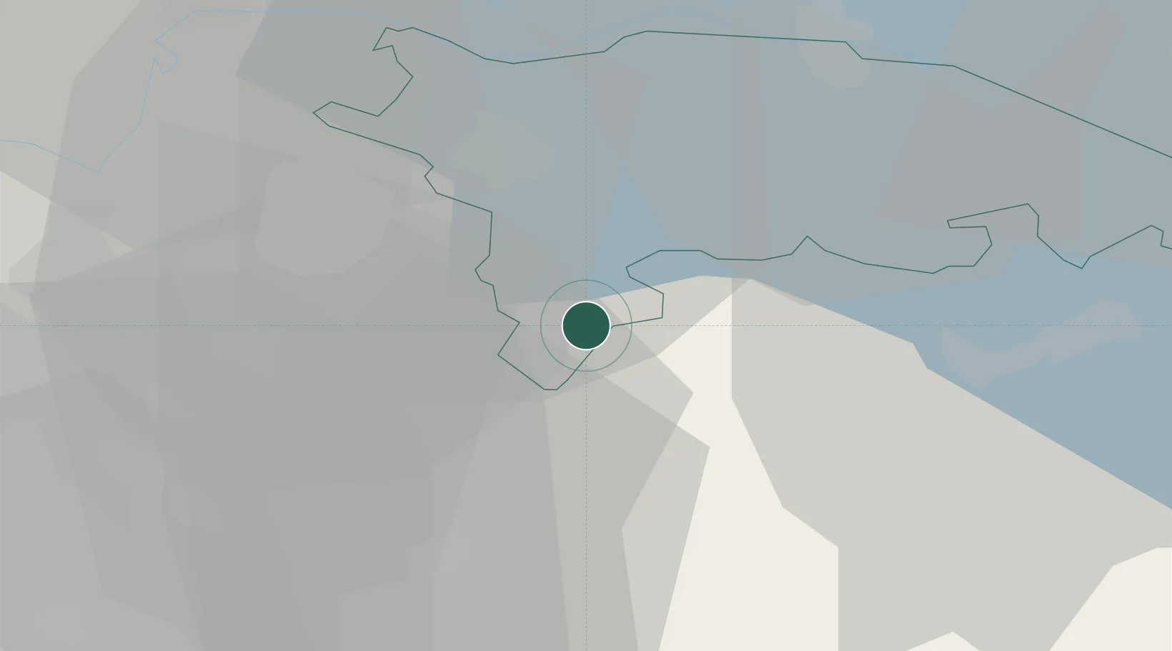
Place type
Populated place
Region
Thurgau
Time zone
Europe/Zurich
Elevation
593 m
Location
Nearby Logistics Neighbours
Cities
- 1Balterswil3 km
- 2Eschlikon4 km
- 3Sirnach5 km
- 4Bettwiesen7 km
- 5Bronschhofen8 km
Ports
- 1Genova338 km
- 2Porto Di Lido-Venezia348 km
- 3Savona348 km
- 4Chiavari - Lavagna349 km
- 5Porto Di Chioggia354 km
Airports
- 1Dübendorf Air Base24 km
- 2Zürich Airport32 km
- 3Sankt Gallen Altenrhein Airport45 km
- 4Bodensee Airport Friedrichshafen49 km
- 5Emmen Air Base63 km
Trade Zones
- 1ZFU Mulhouse127 km
- 2Livigno Free Trade Zone132 km
- 3ZFU Neuhof152 km
- 4ZFU Hautepierre160 km
- 5ZFU Belfort164 km
DatabookThe Record of Consolidated Knowledge
Switzerland beyond logistics?