Transport Functions
Rail
Road
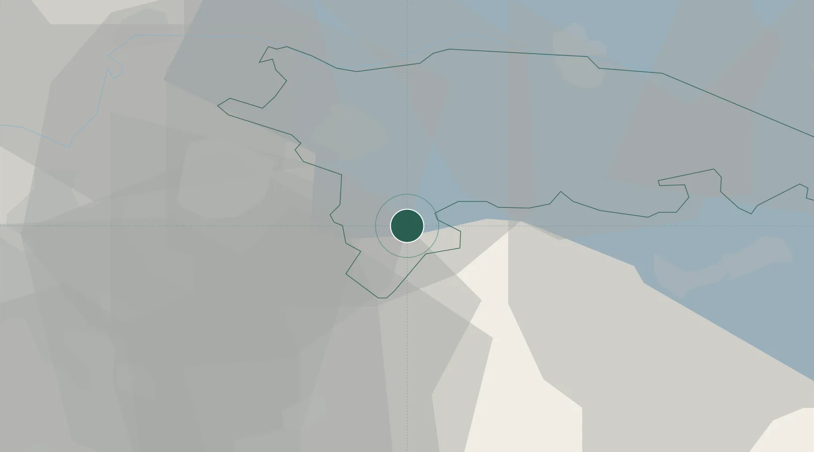
Hub Profile
Place type
Populated place
Region
Thurgau
Population
3,425
Time zone
Europe/Zurich
Elevation
571 m
Location
Nearby Logistics Neighbours
Cities
- 1Sirnach3 km
- 2Balterswil3 km
- 3Dussnang4 km
- 4Wängi4 km
- 5Bettwiesen4 km
Ports
- 1Genova341 km
- 2Porto Di Lido-Venezia350 km
- 3Savona352 km
- 4Chiavari - Lavagna353 km
- 5Porto Di Chioggia357 km
Airports
- 1Dübendorf Air Base25 km
- 2Zürich Airport32 km
- 3Sankt Gallen Altenrhein Airport45 km
- 4Bodensee Airport Friedrichshafen47 km
- 5Emmen Air Base65 km
Trade Zones
- 1ZFU Mulhouse126 km
- 2Livigno Free Trade Zone135 km
- 3ZFU Neuhof149 km
- 4ZFU Hautepierre157 km
- 5ZFU Belfort163 km
DatabookThe Record of Consolidated Knowledge
Switzerland beyond logistics?