Transport Functions
Multimodal
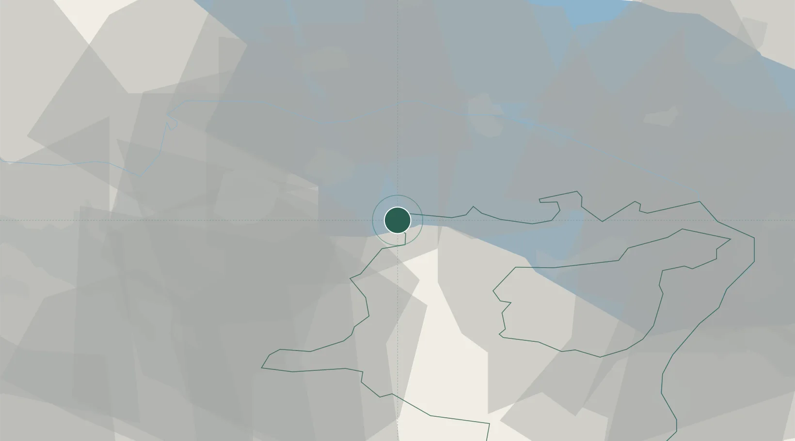
Hub Profile
Place type
Populated place
Region
Thurgau
Time zone
Europe/Zurich
Elevation
548 m
Location
Nearby Logistics Neighbours
Cities
- 1Bronschhofen1 km
- 2Tägerschen2 km
- 3Sirnach2 km
- 4Affeltrangen4 km
- 5Tobel4 km
Ports
- 1Genova343 km
- 2Porto Di Lido-Venezia348 km
- 3Chiavari - Lavagna354 km
- 4Savona354 km
- 5Porto Di Chioggia355 km
Airports
Trade Zones
- 1ZFU Mulhouse129 km
- 2Livigno Free Trade Zone134 km
- 3ZFU Neuhof150 km
- 4ZFU Hautepierre158 km
- 5ZFU Belfort167 km
DatabookThe Record of Consolidated Knowledge
Switzerland beyond logistics?