Transport Functions
Rail
Road
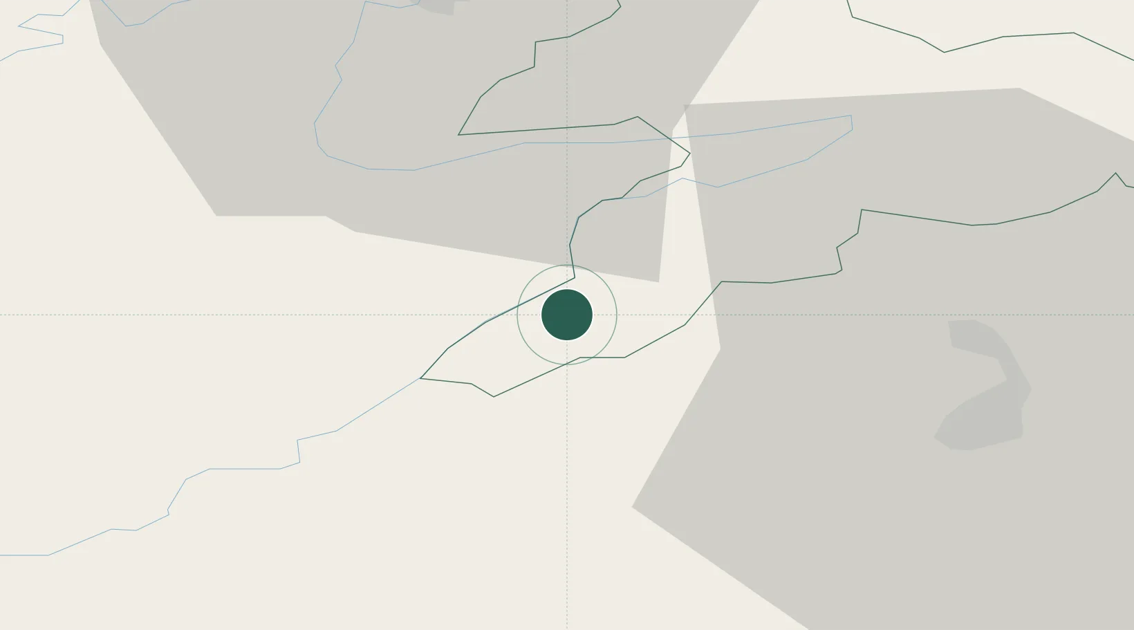
Hub Profile
Place type
Populated place
Region
Jura
Population
1,617
Time zone
Europe/Zurich
Elevation
975 m
Location
Nearby Logistics Neighbours
Cities
- 1Saint-Imier8 km
- 2Courtelary10 km
- 3Cormoret10 km
- 4La Chaux-de-Fonds12 km
- 5Niederönz14 km
Ports
- 1Savona344 km
- 2Rada Di Vado348 km
- 3Genova349 km
- 4Chiavari - Lavagna373 km
- 5Imperia380 km
Airports
- 1Les Eplatures Airport19 km
- 2Montbéliard-Courcelles Airfield32 km
- 3Grenchen Airfield36 km
- 4Payerne Air Base42 km
- 5Bern Airport54 km
Trade Zones
- 1ZFU Montbéliard34 km
- 2ZFU Belfort49 km
- 3PESA - Port-Franc et Entrepôts de Lausanne-Chavornay SA64 km
- 4ZFU Mulhouse66 km
- 5ZFU Besancon71 km
DatabookThe Record of Consolidated Knowledge
Switzerland beyond logistics?