Transport Functions
Road
Multimodal
Hub Profile
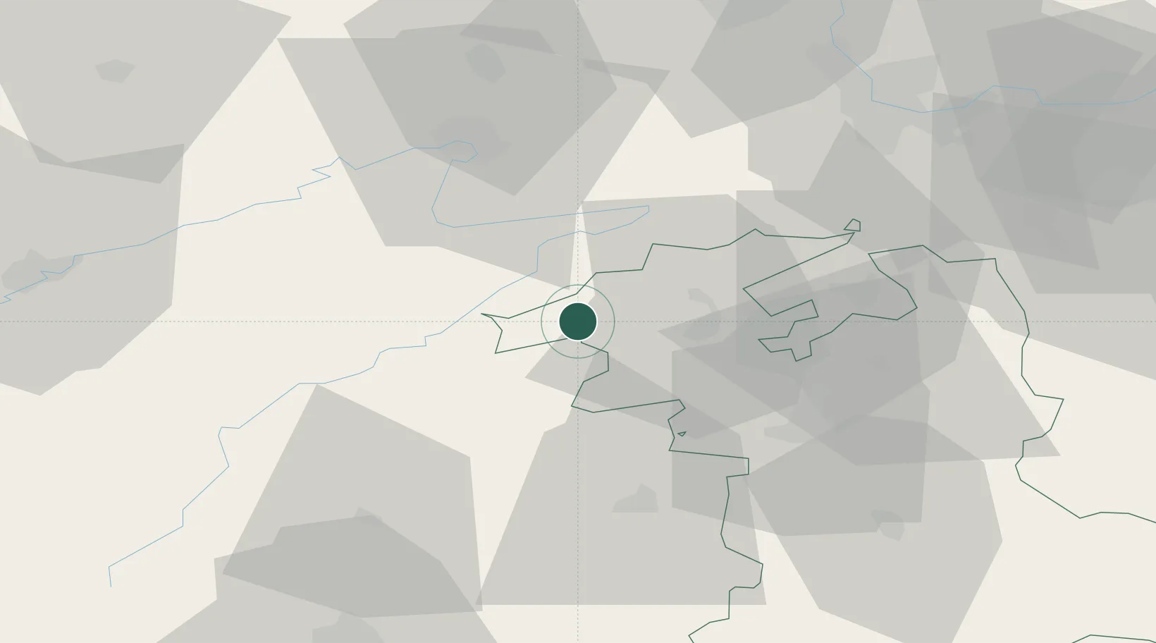
Place type
Populated place
Region
Bern
Time zone
Europe/Zurich
Elevation
719 m
Location
Nearby Logistics Neighbours
Cities
- 1Saint-Imier3 km
- 2Courtelary5 km
- 3Lamboing8 km
- 4Le Noirmont10 km
- 5Twann10 km
Ports
- 1Savona335 km
- 2Rada Di Vado339 km
- 3Genova339 km
- 4Chiavari - Lavagna363 km
- 5Imperia372 km
Airports
- 1Les Eplatures Airport20 km
- 2Grenchen Airfield29 km
- 3Payerne Air Base35 km
- 4Montbéliard-Courcelles Airfield42 km
- 5Bern Airport44 km
Trade Zones
- 1ZFU Montbéliard44 km
- 2ZFU Belfort58 km
- 3PESA - Port-Franc et Entrepôts de Lausanne-Chavornay SA61 km
- 4ZFU Mulhouse70 km
- 5ZFU Besancon78 km
DatabookThe Record of Consolidated Knowledge
Switzerland beyond logistics?