Transport Functions
Rail
Road
Multimodal
Hub Profile
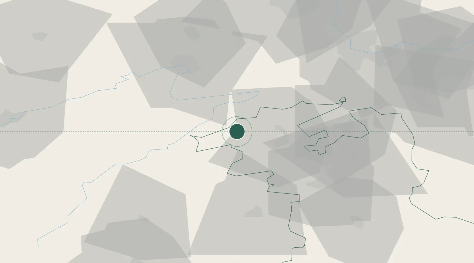
Place type
Populated place
Region
Bern
Population
1,163
Time zone
Europe/Zurich
Elevation
697 m
Location
Nearby Logistics Neighbours
Cities
- 1Cormoret5 km
- 2Saint-Imier6 km
- 3Lamboing9 km
- 4Sonceboz-Sombeval9 km
- 5Le Noirmont10 km
Ports
- 1Savona338 km
- 2Genova342 km
- 3Rada Di Vado342 km
- 4Chiavari - Lavagna365 km
- 5Imperia375 km
Airports
- 1Les Eplatures Airport24 km
- 2Grenchen Airfield27 km
- 3Payerne Air Base40 km
- 4Montbéliard-Courcelles Airfield40 km
- 5Bern Airport45 km
Trade Zones
- 1ZFU Montbéliard42 km
- 2ZFU Belfort55 km
- 3PESA - Port-Franc et Entrepôts de Lausanne-Chavornay SA65 km
- 4ZFU Mulhouse66 km
- 5ZFU Besancon80 km
DatabookThe Record of Consolidated Knowledge
Switzerland beyond logistics?