Transport Functions
Rail
Road
Postal
Hub Profile
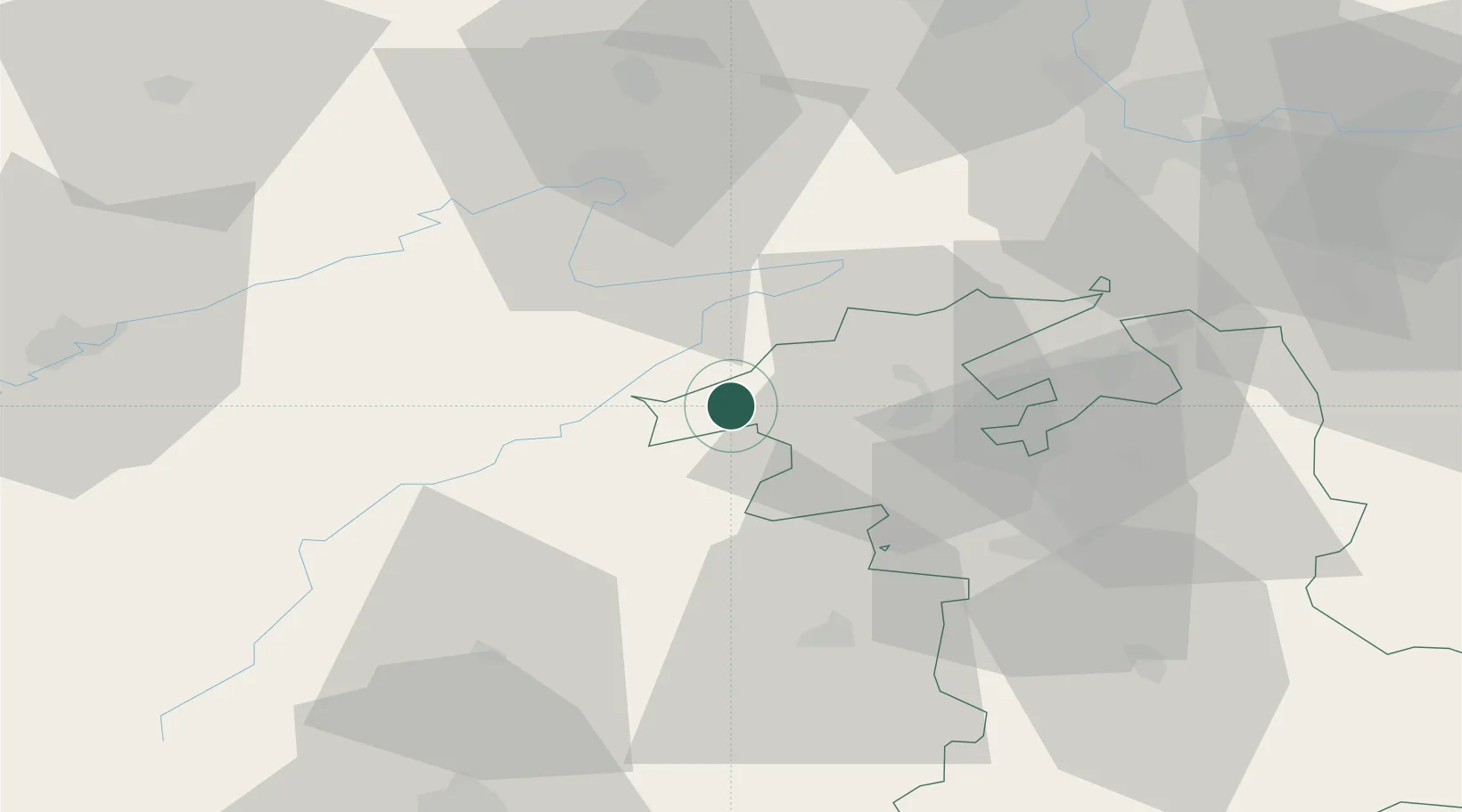
Place type
Populated place
Region
Bern
Population
5,220
Time zone
Europe/Zurich
Elevation
814 m
Location
Nearby Logistics Neighbours
Cities
- 1Cormoret3 km
- 2Courtelary6 km
- 3Le Noirmont8 km
- 4Lamboing11 km
- 5Cressier11 km
Ports
- 1Savona336 km
- 2Rada Di Vado340 km
- 3Genova340 km
- 4Chiavari - Lavagna364 km
- 5Imperia372 km
Airports
- 1Les Eplatures Airport17 km
- 2Grenchen Airfield32 km
- 3Payerne Air Base35 km
- 4Montbéliard-Courcelles Airfield41 km
- 5Bern Airport46 km
Trade Zones
- 1ZFU Montbéliard43 km
- 2ZFU Belfort57 km
- 3PESA - Port-Franc et Entrepôts de Lausanne-Chavornay SA59 km
- 4ZFU Mulhouse71 km
- 5ZFU Besancon76 km
DatabookThe Record of Consolidated Knowledge
Switzerland beyond logistics?