UN/LOCODE hub · Switzerland
CHNDR

Niederönz

47.2667°, 7.1167°
2
Transport functions

Transport Functions

Road
Multimodal
UN/LOCODE

Hub Profile

Region
BE
GeoNames

Location

Location of CHNDR
Natural Earth 10m (public domain) · BE · CHNDR · 47.27, 7.12GoogleOSMYandex

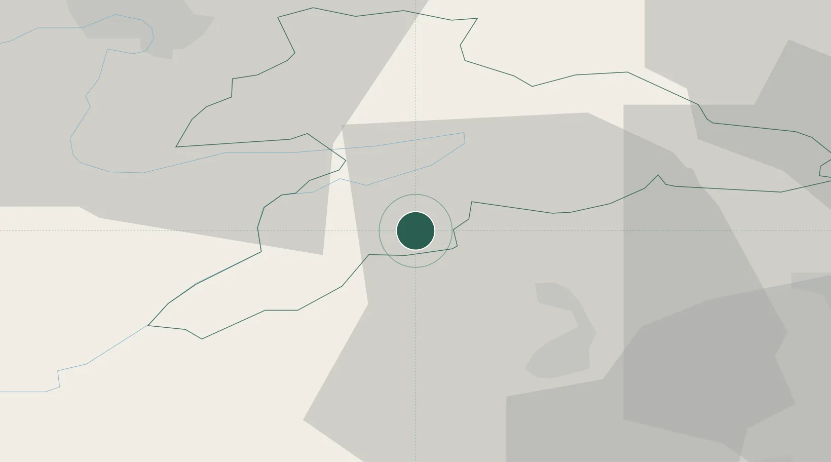
Nearby Logistics Neighbours

Cities
  1. 1Reconvilier8 km
  2. 2Sonceboz-Sombeval9 km
  3. 3Courtelary10 km
  4. 4Saint-Ursanne11 km
  5. 5Pery13 km
Nearest neighbours — logibook spatial index (haversine) over the source coordinates
Ports
  1. 1Savona345 km
  2. 2Genova348 km
  3. 3Rada Di Vado350 km
  4. 4Chiavari - Lavagna371 km
  5. 5Imperia383 km
Nearest neighbours — logibook spatial index (haversine) over the source coordinates
Airports
  1. 1Grenchen Airfield25 km
  2. 2Les Eplatures Airport32 km
  3. 3Montbéliard-Courcelles Airfield35 km
  4. 4EuroAirport Basel–Mulhouse–Freiburg48 km
  5. 5Bern Airport49 km
Nearest neighbours — logibook spatial index (haversine) over the source coordinates
Trade Zones
  1. 1ZFU Montbéliard36 km
  2. 2ZFU Belfort48 km
  3. 3ZFU Mulhouse56 km
  4. 4PESA - Port-Franc et Entrepôts de Lausanne-Chavornay SA75 km
  5. 5ZFU Besancon84 km
Nearest neighbours — logibook spatial index (haversine) over the source coordinates
DatabookThe Record of Consolidated Knowledge
Switzerland beyond logistics?
Browse databook

All Sources

LocationsUN/LOCODE
UN/LOCODE — free
Portsthe NGA World Port Index
Public domain (US gov)
AirportsOurAirports
Public domain
Trade Zonesthe World Bank SEZ database
CC BY 4.0
Trade ZonesOpen Zone Map
CC BY
← Switzerland locations