UN/LOCODE hub · Switzerland
CHLCF
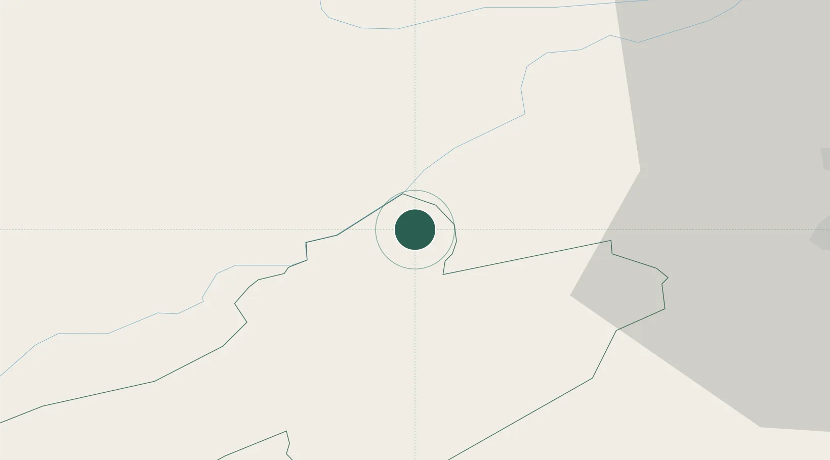
La Chaux-de-Fonds
47.1333°, 6.8500°
37,942
Population
2
Transport functions
Transport Functions
Rail
Road
Hub Profile
Place type
Provincial seat
Region
Neuchâtel
Population
37,942
Time zone
Europe/Zurich
Elevation
995 m
Location
Nearby Logistics Neighbours
Cities
- 1Le Crêt-du-Locle9 km
- 2Le Russey10 km
- 3La Sagne10 km
- 4Saint-Imier12 km
- 5Le Noirmont12 km
Ports
- 1Savona338 km
- 2Rada Di Vado342 km
- 3Genova344 km
- 4Chiavari - Lavagna369 km
- 5Imperia373 km
Airports
- 1Les Eplatures Airport7 km
- 2Payerne Air Base33 km
- 3Montbéliard-Courcelles Airfield40 km
- 4Grenchen Airfield43 km
- 5Bern Airport55 km
Trade Zones
- 1ZFU Montbéliard42 km
- 2PESA - Port-Franc et Entrepôts de Lausanne-Chavornay SA52 km
- 3ZFU Belfort57 km
- 4ZFU Besancon65 km
- 5Port Franc Vevey77 km
DatabookThe Record of Consolidated Knowledge
Switzerland beyond logistics?