Transport Functions
Rail
Road
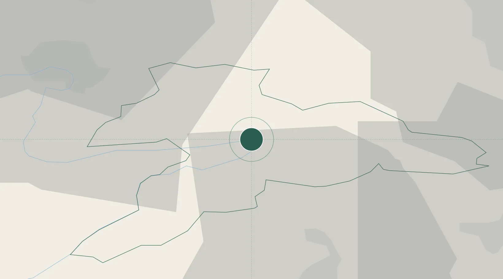
Hub Profile
Place type
Populated place
Region
Jura
Population
683
Time zone
Europe/Zurich
Elevation
445 m
Location
Nearby Logistics Neighbours
Cities
- 1Courgenay5 km
- 2Bassecourt7 km
- 3Alle8 km
- 4Courfaivre11 km
- 5Niederönz11 km
Ports
- 1Savona355 km
- 2Genova357 km
- 3Rada Di Vado359 km
- 4Chiavari - Lavagna380 km
- 5Imperia393 km
Airports
- 1Grenchen Airfield29 km
- 2Montbéliard-Courcelles Airfield30 km
- 3EuroAirport Basel–Mulhouse–Freiburg38 km
- 4Les Eplatures Airport41 km
- 5Bern Airport57 km
Trade Zones
- 1ZFU Montbéliard31 km
- 2ZFU Belfort40 km
- 3ZFU Mulhouse45 km
- 4PESA - Port-Franc et Entrepôts de Lausanne-Chavornay SA86 km
- 5ZFU Besancon87 km
DatabookThe Record of Consolidated Knowledge
Switzerland beyond logistics?