Transport Functions
Rail
Road
Hub Profile
Place type
Urban district
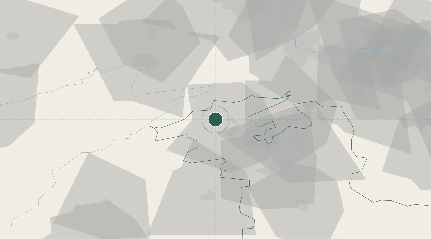
Region
Bern
Time zone
Europe/Zurich
Elevation
657 m
Location
Nearby Logistics Neighbours
Cities
- 1Reconvilier5 km
- 2Pery5 km
- 3Orvin6 km
- 4Niederönz9 km
- 5Courtelary9 km
Ports
- 1Savona337 km
- 2Genova339 km
- 3Rada Di Vado341 km
- 4Chiavari - Lavagna362 km
- 5Imperia375 km
Airports
- 1Grenchen Airfield18 km
- 2Les Eplatures Airport32 km
- 3Bern Airport40 km
- 4Montbéliard-Courcelles Airfield44 km
- 5Payerne Air Base45 km
Trade Zones
- 1ZFU Montbéliard45 km
- 2ZFU Belfort57 km
- 3ZFU Mulhouse62 km
- 4PESA - Port-Franc et Entrepôts de Lausanne-Chavornay SA72 km
- 5ZFU Besancon89 km
DatabookThe Record of Consolidated Knowledge
Switzerland beyond logistics?