Transport Functions
Multimodal
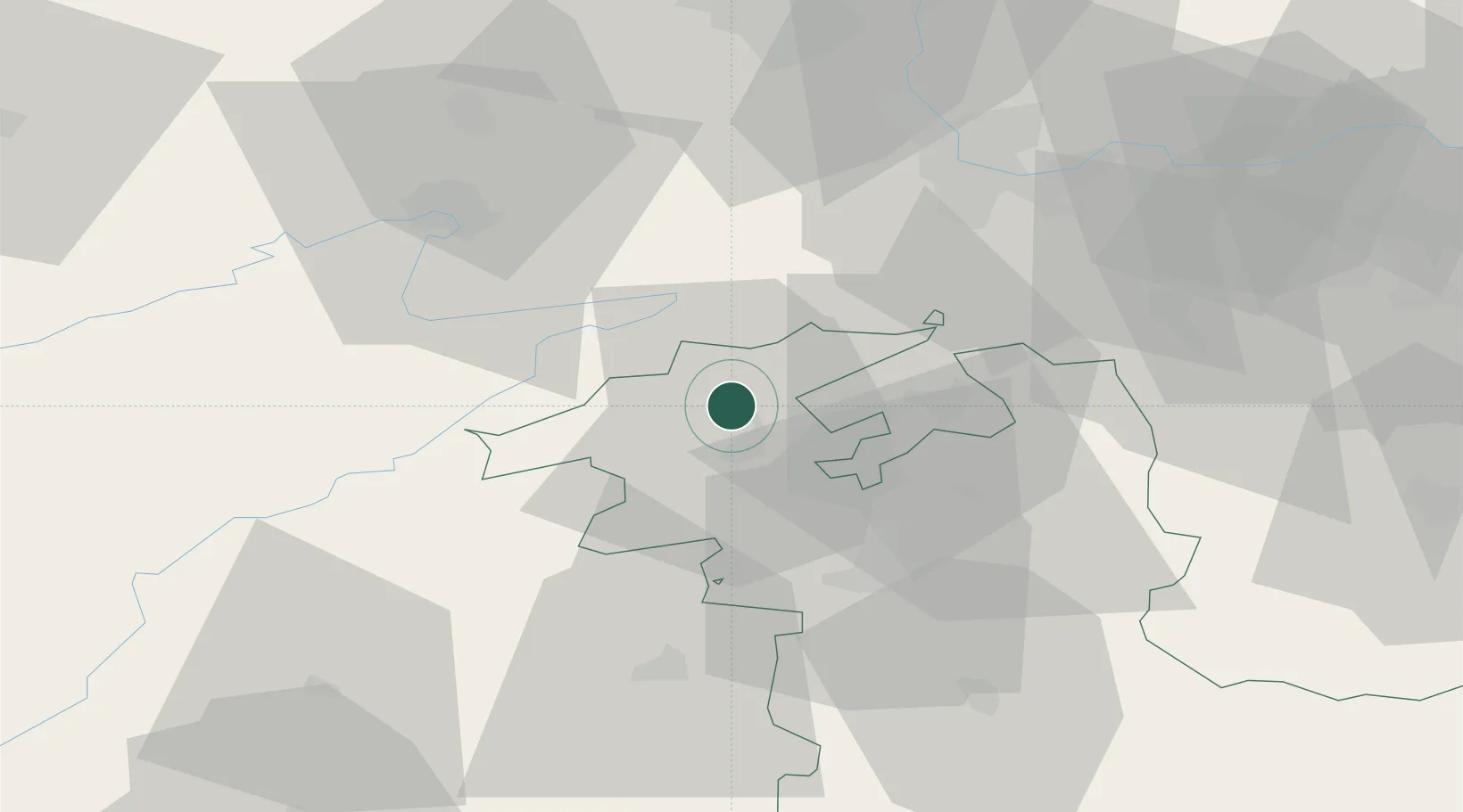
Hub Profile
Place type
Populated place
Region
Bern
Population
1,342
Time zone
Europe/Zurich
Elevation
634 m
Location
Nearby Logistics Neighbours
Cities
- 1Reconvilier5 km
- 2Sonceboz-Sombeval5 km
- 3Pieterlen7 km
- 4Orvin7 km
- 5Lengnau8 km
Ports
- 1Savona335 km
- 2Genova337 km
- 3Rada Di Vado339 km
- 4Chiavari - Lavagna360 km
- 5Imperia374 km
Airports
- 1Grenchen Airfield13 km
- 2Les Eplatures Airport37 km
- 3Bern Airport37 km
- 4Montbéliard-Courcelles Airfield47 km
- 5Payerne Air Base47 km
Trade Zones
- 1ZFU Montbéliard49 km
- 2ZFU Belfort60 km
- 3ZFU Mulhouse61 km
- 4PESA - Port-Franc et Entrepôts de Lausanne-Chavornay SA75 km
- 5ZFU Besancon94 km
DatabookThe Record of Consolidated Knowledge
Switzerland beyond logistics?