Transport Functions
Rail
Road
Hub Profile
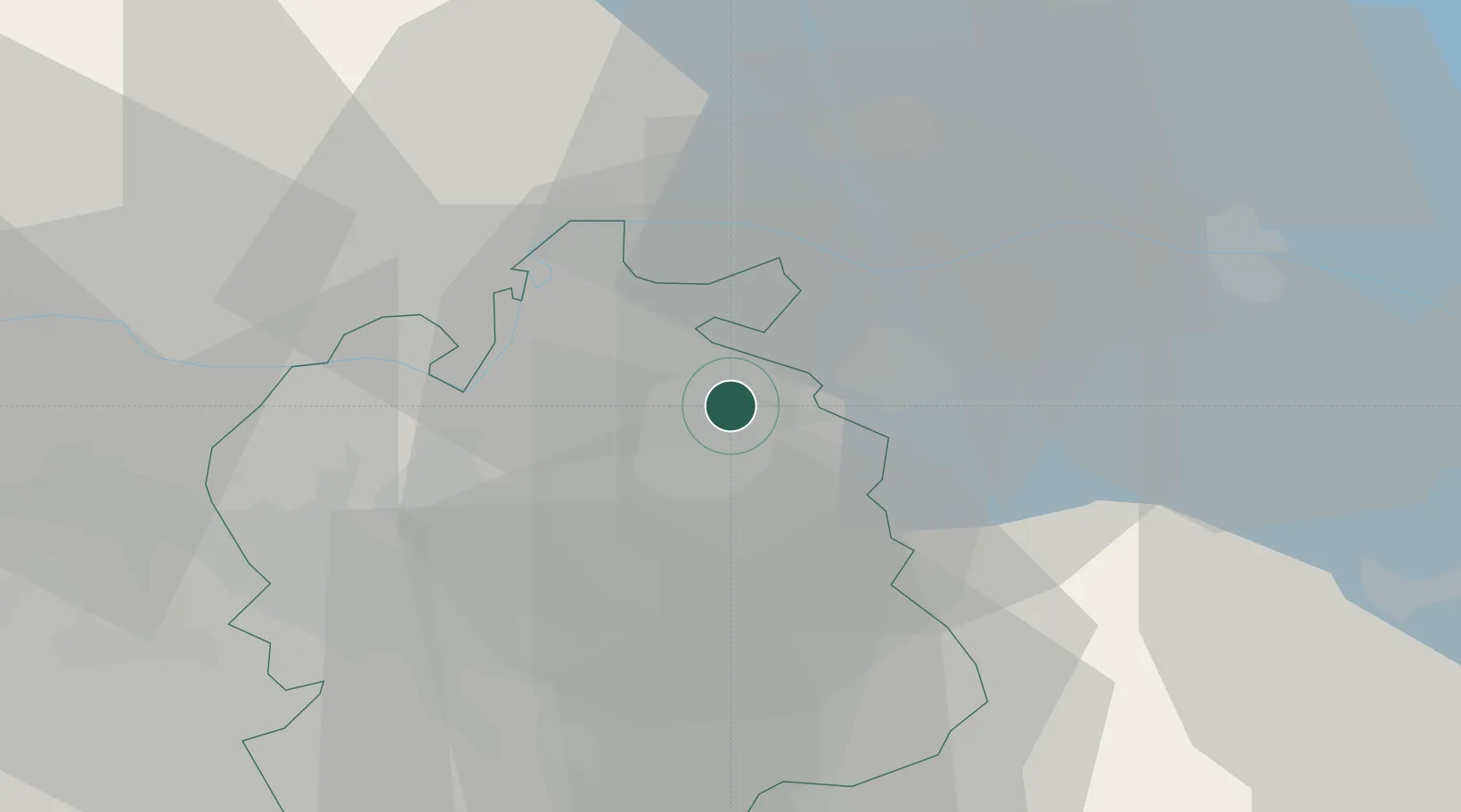
Place type
Populated place
Region
Zurich
Population
522
Time zone
Europe/Zurich
Elevation
437 m
Location
Nearby Logistics Neighbours
Cities
- 1Rickenbach-Attikon1 km
- 2Seuzach4 km
- 3Hettlingen5 km
- 4Stallikon5 km
- 5Andelfingen7 km
Ports
- 1Genova351 km
- 2Savona360 km
- 3Chiavari - Lavagna363 km
- 4Rada Di Vado366 km
- 5Porto Di Lido-Venezia368 km
Airports
Trade Zones
- 1ZFU Mulhouse109 km
- 2ZFU Neuhof133 km
- 3ZFU Hautepierre141 km
- 4ZFU Belfort147 km
- 5ZFU Montbéliard149 km
DatabookThe Record of Consolidated Knowledge
Switzerland beyond logistics?