Transport Functions
Multimodal
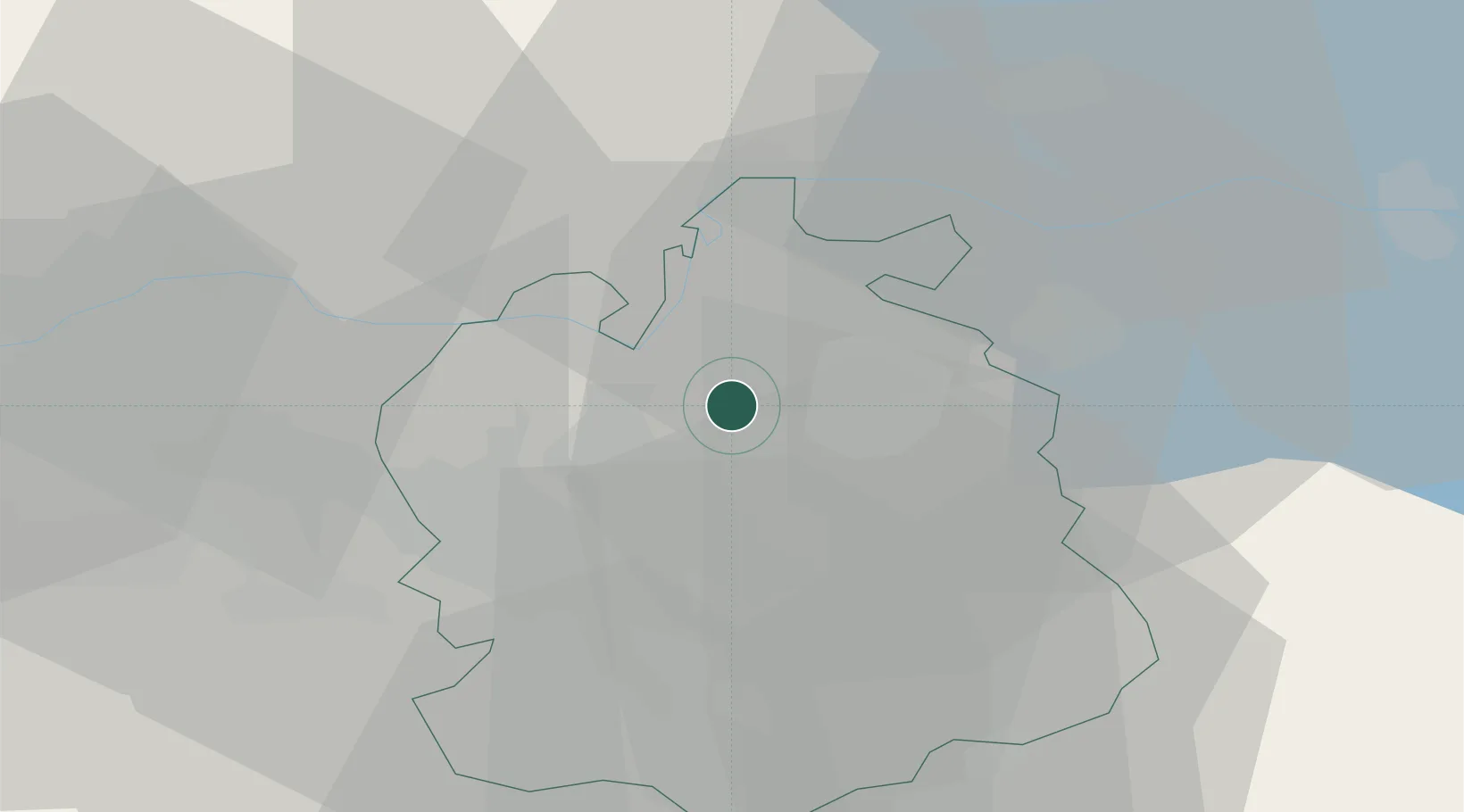
Hub Profile
Place type
Populated place
Region
Zurich
Population
2,369
Time zone
Europe/Zurich
Elevation
420 m
Location
Nearby Logistics Neighbours
Cities
- 1Embrach-Embraport4 km
- 2Brutten6 km
- 3Hettlingen6 km
- 4Seuzach7 km
- 5Bülach8 km
Ports
- 1Genova348 km
- 2Savona356 km
- 3Chiavari - Lavagna361 km
- 4Rada Di Vado362 km
- 5Porto Di Lido-Venezia373 km
Airports
- 1Zürich Airport9 km
- 2Dübendorf Air Base13 km
- 3Donaueschingen-Villingen Airfield52 km
- 4Emmen Air Base53 km
- 5Bodensee Airport Friedrichshafen68 km
Trade Zones
- 1ZFU Mulhouse101 km
- 2ZFU Neuhof131 km
- 3ZFU Belfort138 km
- 4ZFU Montbéliard139 km
- 5ZFU Hautepierre139 km
DatabookThe Record of Consolidated Knowledge
Switzerland beyond logistics?