Transport Functions
Rail
Road
Hub Profile
Place type
Urban district
Region
Basel-Landschaft
Time zone
Europe/Zurich
Elevation
278 m
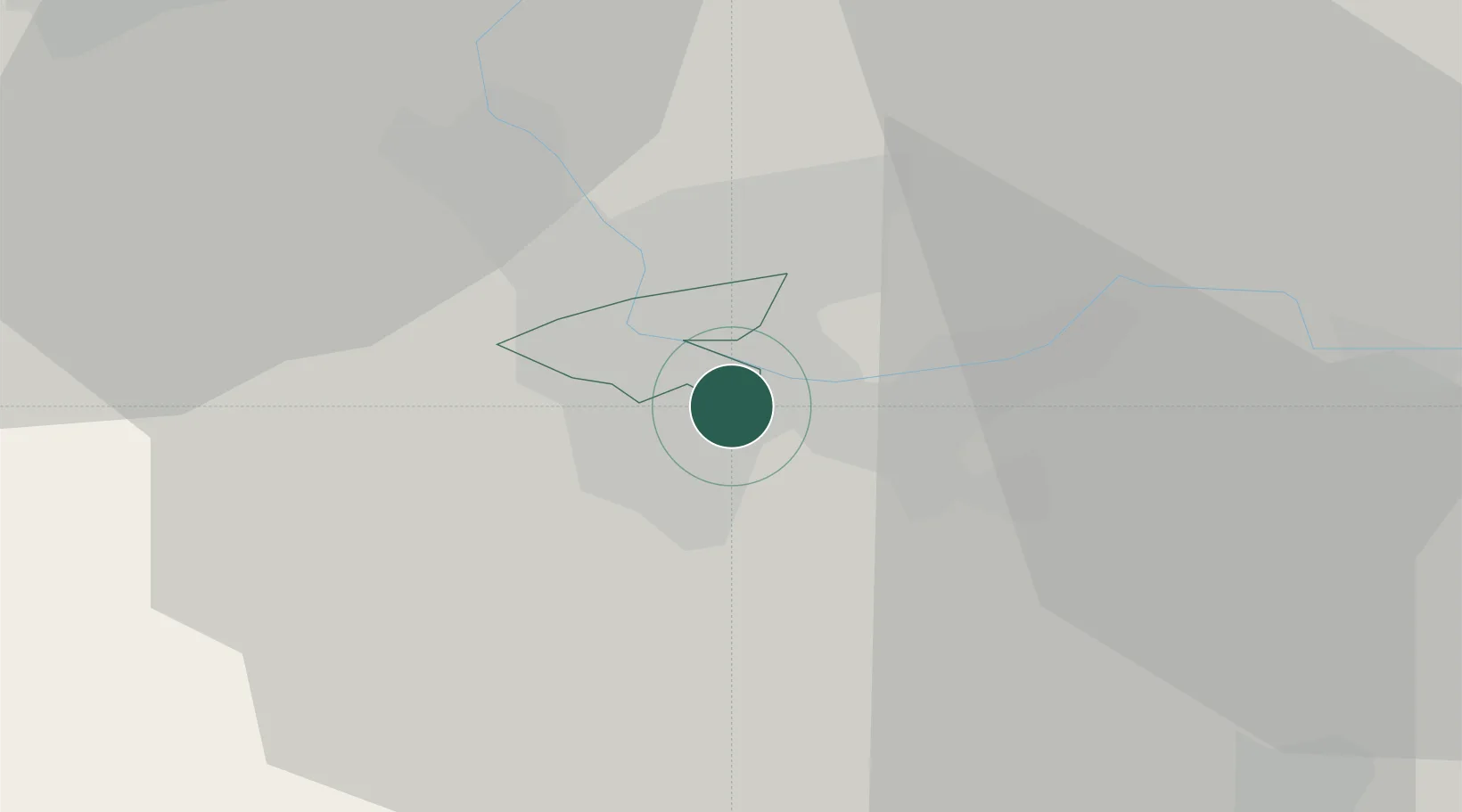
Location
Nearby Logistics Neighbours
Cities
- 1Schweizerhalle3 km
- 2Basel3 km
- 3Binningen5 km
- 4Basel Schweizerhalle5 km
- 5Bottmingen5 km
Ports
- 1Genova363 km
- 2Savona364 km
- 3Rada Di Vado369 km
- 4Chiavari - Lavagna382 km
- 5Imperia407 km
Airports
- 1EuroAirport Basel–Mulhouse–Freiburg11 km
- 2Grenchen Airfield42 km
- 3Montbéliard-Courcelles Airfield64 km
- 4Colmar Houssen airport67 km
- 5Zürich Airport69 km
Trade Zones
- 1ZFU Mulhouse33 km
- 2ZFU Belfort63 km
- 3ZFU Montbéliard64 km
- 4ZFU Neuhof112 km
- 5ZFU Hautepierre118 km
DatabookThe Record of Consolidated Knowledge
Switzerland beyond logistics?