Transport Functions
Multimodal
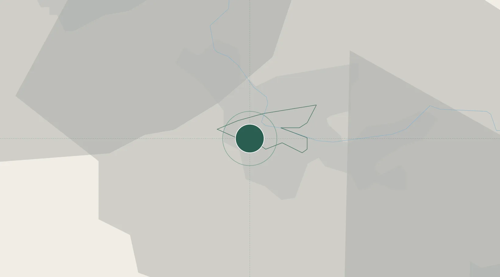
Hub Profile
Region
BS
Location
Nearby Logistics Neighbours
Cities
- 1Binningen2 km
- 2Bottmingen4 km
- 3Saint-Louis4 km
- 4Hégenheim4 km
- 5Oberwil4 km
Ports
- 1Genova366 km
- 2Savona367 km
- 3Rada Di Vado372 km
- 4Chiavari - Lavagna386 km
- 5Imperia409 km
Airports
Trade Zones
- 1ZFU Mulhouse28 km
- 2ZFU Belfort58 km
- 3ZFU Montbéliard59 km
- 4ZFU Neuhof111 km
- 5ZFU Hautepierre117 km
DatabookThe Record of Consolidated Knowledge
Switzerland beyond logistics?