Transport Functions
Port
Rail
Road
Airport
Postal
Hub Profile
Place type
Regional capital
Region
Basel-City
Population
177,595
Time zone
Europe/Zurich
Elevation
279 m
Logistics facilities
15
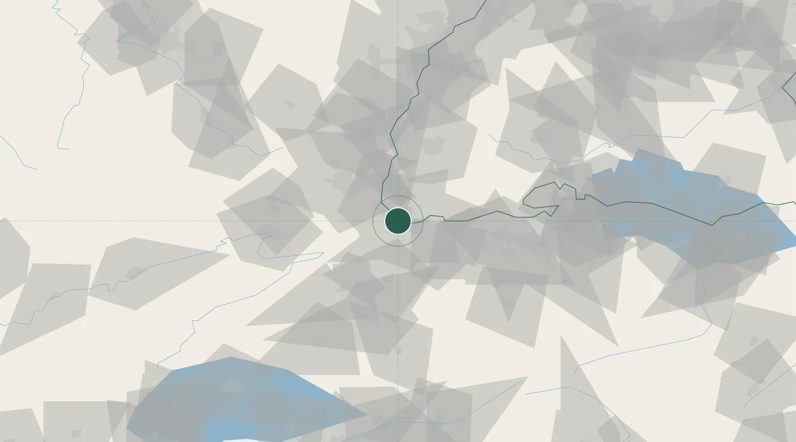
Location
Nearby Logistics Neighbours
Cities
- 1Freidorf3 km
- 2Basel Schweizerhalle4 km
- 3Schweizerhalle5 km
- 4Saint-Louis5 km
- 5Weil am Rhein5 km
Ports
- 1Genova366 km
- 2Savona367 km
- 3Rada Di Vado372 km
- 4Chiavari - Lavagna385 km
- 5Imperia410 km
Airports
Trade Zones
- 1ZFU Mulhouse30 km
- 2ZFU Belfort62 km
- 3ZFU Montbéliard63 km
- 4ZFU Neuhof109 km
- 5ZFU Hautepierre115 km
DatabookThe Record of Consolidated Knowledge
Switzerland beyond logistics?