Transport Functions
Multimodal
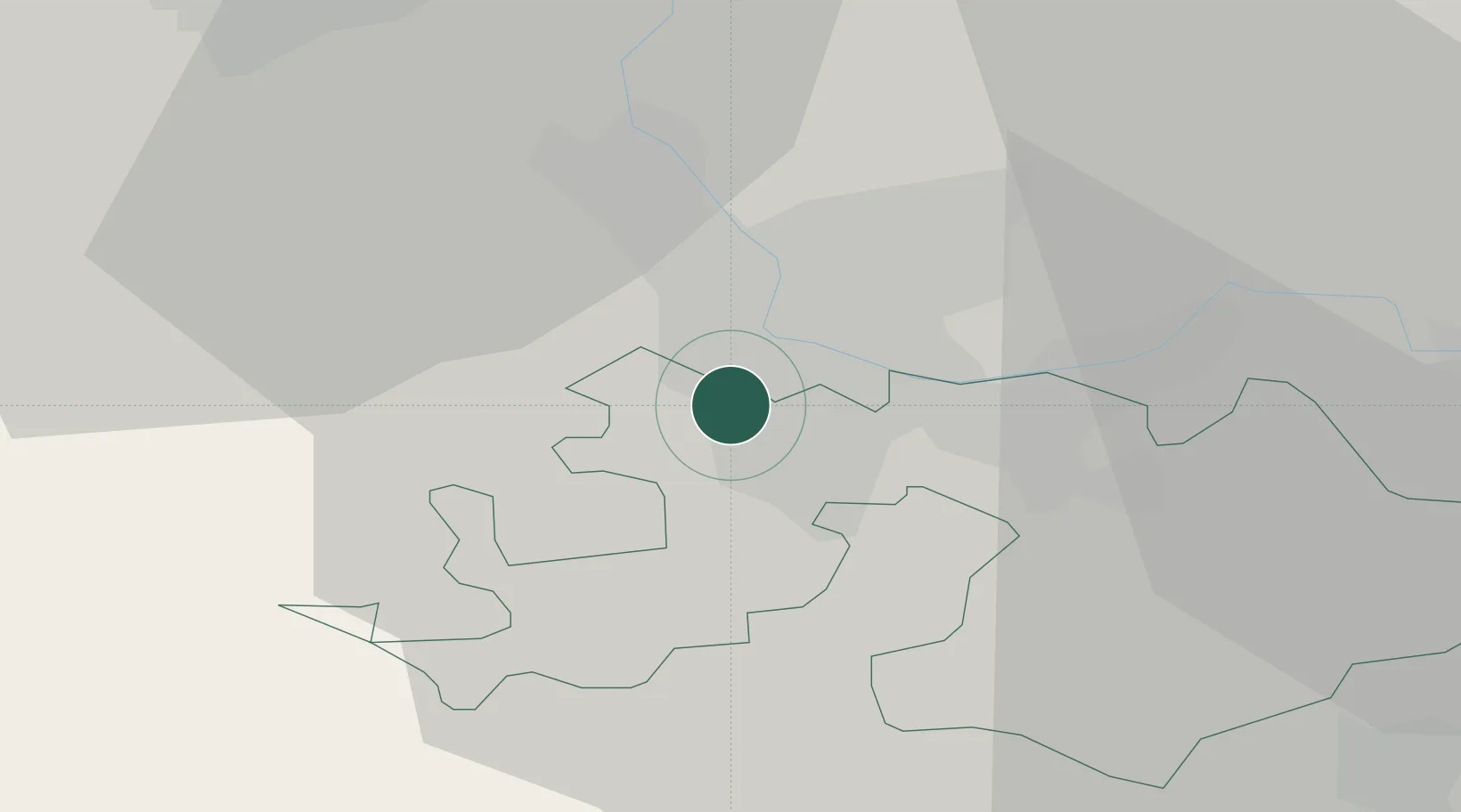
Hub Profile
Place type
Populated place
Region
Basel-Landschaft
Population
14,130
Time zone
Europe/Zurich
Elevation
316 m
Location
Nearby Logistics Neighbours
Cities
- 1Bottmingen2 km
- 2Basel Schweizerhalle2 km
- 3Oberwil2 km
- 4Therwil4 km
- 5Hégenheim4 km
Ports
- 1Genova364 km
- 2Savona365 km
- 3Rada Di Vado370 km
- 4Chiavari - Lavagna384 km
- 5Imperia408 km
Airports
Trade Zones
- 1ZFU Mulhouse30 km
- 2ZFU Belfort58 km
- 3ZFU Montbéliard59 km
- 4ZFU Neuhof113 km
- 5ZFU Hautepierre118 km
DatabookThe Record of Consolidated Knowledge
Switzerland beyond logistics?