Transport Functions
Multimodal
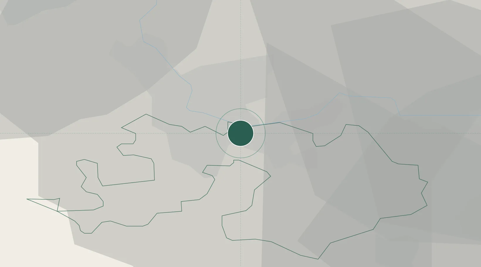
Hub Profile
Place type
Populated place
Region
Basel-Landschaft
Time zone
Europe/Zurich
Elevation
266 m
Location
Nearby Logistics Neighbours
Cities
- 1Freidorf3 km
- 2Kaiseraugst4 km
- 3Frenkendorf4 km
- 4Basel5 km
- 5Füllinsdorf5 km
Ports
- 1Genova362 km
- 2Savona363 km
- 3Rada Di Vado369 km
- 4Chiavari - Lavagna381 km
- 5Imperia407 km
Airports
- 1EuroAirport Basel–Mulhouse–Freiburg13 km
- 2Grenchen Airfield43 km
- 3Montbéliard-Courcelles Airfield66 km
- 4Zürich Airport67 km
- 5Colmar Houssen airport68 km
Trade Zones
- 1ZFU Mulhouse35 km
- 2ZFU Belfort66 km
- 3ZFU Montbéliard66 km
- 4ZFU Neuhof112 km
- 5ZFU Hautepierre118 km
DatabookThe Record of Consolidated Knowledge
Switzerland beyond logistics?