Transport Functions
Road
Multimodal
Hub Profile
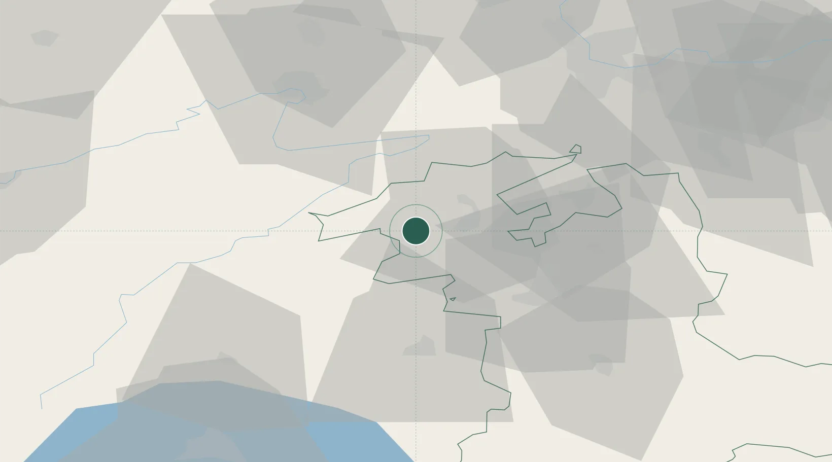
Place type
Populated place
Region
Bern
Population
617
Time zone
Europe/Zurich
Elevation
818 m
Location
Nearby Logistics Neighbours
Cities
- 1Twann2 km
- 2Orvin6 km
- 3Ipsach8 km
- 4Cormoret8 km
- 5Courtelary9 km
Ports
- 1Savona329 km
- 2Genova333 km
- 3Rada Di Vado333 km
- 4Chiavari - Lavagna356 km
- 5Imperia366 km
Airports
- 1Grenchen Airfield23 km
- 2Les Eplatures Airport26 km
- 3Payerne Air Base35 km
- 4Bern Airport36 km
- 5Montbéliard-Courcelles Airfield49 km
Trade Zones
- 1ZFU Montbéliard51 km
- 2PESA - Port-Franc et Entrepôts de Lausanne-Chavornay SA63 km
- 3ZFU Belfort64 km
- 4ZFU Mulhouse72 km
- 5Port Franc Vevey84 km
DatabookThe Record of Consolidated Knowledge
Switzerland beyond logistics?